
What is recorded here
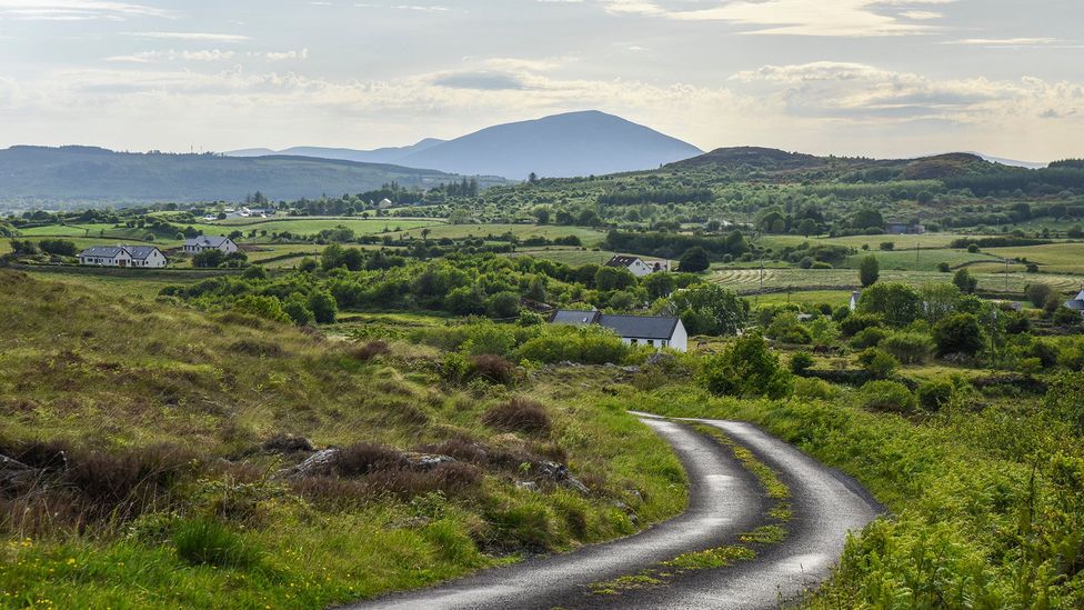
A slight rise in the field indicates the former location of the single-ringed enclosure shown on the 1st and 2nd editions of the OS 6-inch maps. It was located on the S slope of Fearn Hill.
The above description was derived from the 'Archaeological Survey of County Donegal. A description of the field antiquities of the County from the Mesolithic Period to the 17th century.' Compiled by: Brian Lacey with Eamon Cody, Claire Cotter, Judy Cuppage, Noel Dunne, Vincent Hurley, Celie O'Rahilly, Paul Walsh and Seán Ó Nualláin (Lifford: Donegal County Council, 1983). In certain instances the entries have been revised and updated.
Date of upload: 22 September 2008
A local fairy fort (ringfort/rath); wider significance not recorded.
The monument record does not grant public access. Check the route and ask the landowner before entering private land.
- What survives
- Recorded monument
Places near here
 Birdstown Standing StonePublicly named standing stone · 538 yd
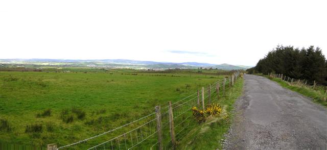 Fearn HillMountain / peak · 1012 yd
 ENCLOSURE in ListymoreENCLOSURE · 1105 yd
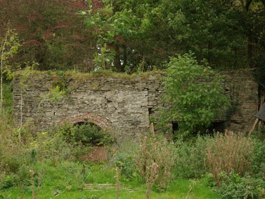 kilnkiln · 2.0 mi
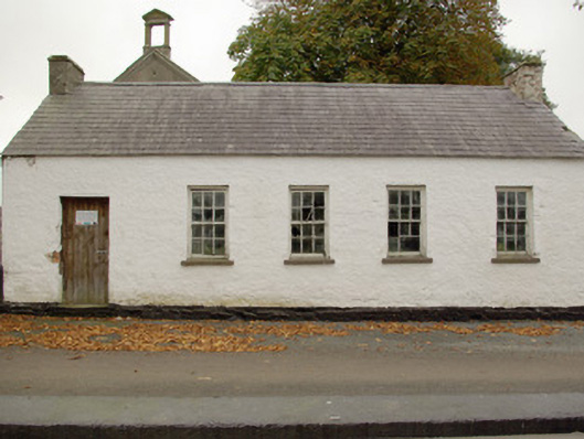 Alt National Schoolschool · 2.1 mi
 HISTORIC SETTLEMENT: CASTLEDERG, DERG BRIDGE, CASTLE-DERRICK or CHURCHTOWN in ChurchtownHISTORIC SETTLEMENT: CASTLEDERG, DERG BRIDGE, CASTLE-DERRICK or CHURCHTOWN · 3.1 mi
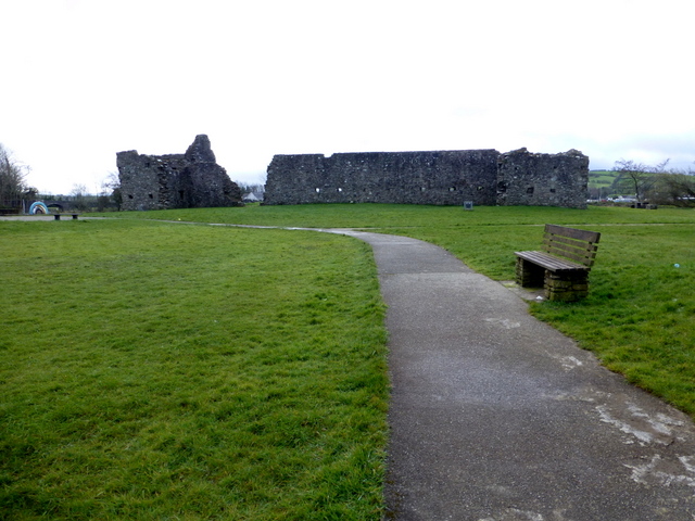 FORTIFIED HOUSE & BAWN: CASTLEDERG CASTLE in CastlesessaghFORTIFIED HOUSE & BAWN: CASTLEDERG CASTLE · 3.2 mi
 BATTLE SITE: in 789 AD & BATTLE OF THE FORDS , Southern crossing, 1689 in Clady; DonnygowanBATTLE SITE: in 789 AD & BATTLE OF THE FORDS , Southern crossing, 1689 · 3.3 mi
 Gallagher's PlantationForest · 4.8 mi
 Largybeg WoodForest · 4.9 mi
 MullaghcroyMountain / peak · 5.0 mi
 Drumskinny Stone CircleHeritage attraction · 12 mi
Other information
Photo: Credit not shown in the picture search · Rights wording not checked; contact us if this picture should be removed