What is recorded here
The considerably disturbed remains of this subcircular enclosure, not marked on the OS maps, are located on the SE slopes of Geokaun, Valencia Island, overlooking Valencia Harbour and the Portmagee Channel. The enclosing bank has been levelled except in the S sector where it measures 1.3m wide and rises 1.15m above external ground level. The interior of the site has been raised to compensate for the southward slope of the land. The enclosed area appears to have been c. 25m N-S x c. 35m E-W internally.
The above description is derived from A. O'Sullivan and J. Sheehan (compilers), 'The Iveragh peninsula: an archaeological survey of South Kerry'. Cork University Press (1996), no. 747. In certain instances the entries have been revised and updated in the light of recent research.
Date of upload: 29 July 2013
The monument record does not grant public access. Check the route and ask the landowner before entering private land.
- What survives
- Recorded monument
Places near here
 ToberfinnanHoly well · 622 yd
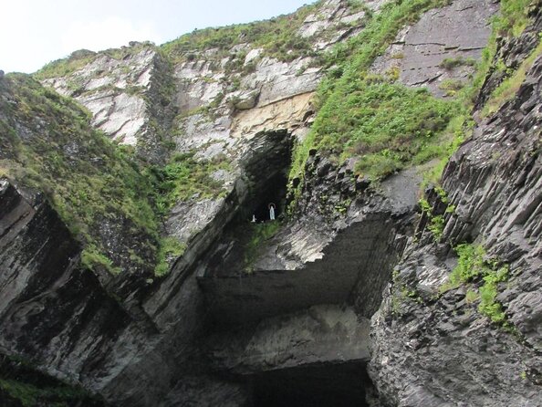 Slate QuarryQuarry · 671 yd
 The GrottoCave · 675 yd
 GeokaunMountain / peak · 920 yd
 Church in Feaghmaan WestChurch · 1029 yd
 Chilean myrtleChilean myrtle · 1214 yd
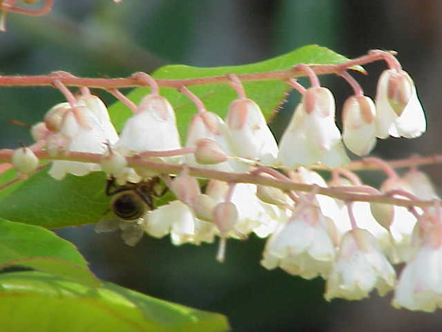 Lily-of-the-valley treeLily-of-the-valley tree · 1235 yd
 Enclosure in GlanleamEnclosure · 1273 yd
 Fogher CliffCliff · 1507 yd
 Kilbeg MountainMountain / peak · 1659 yd
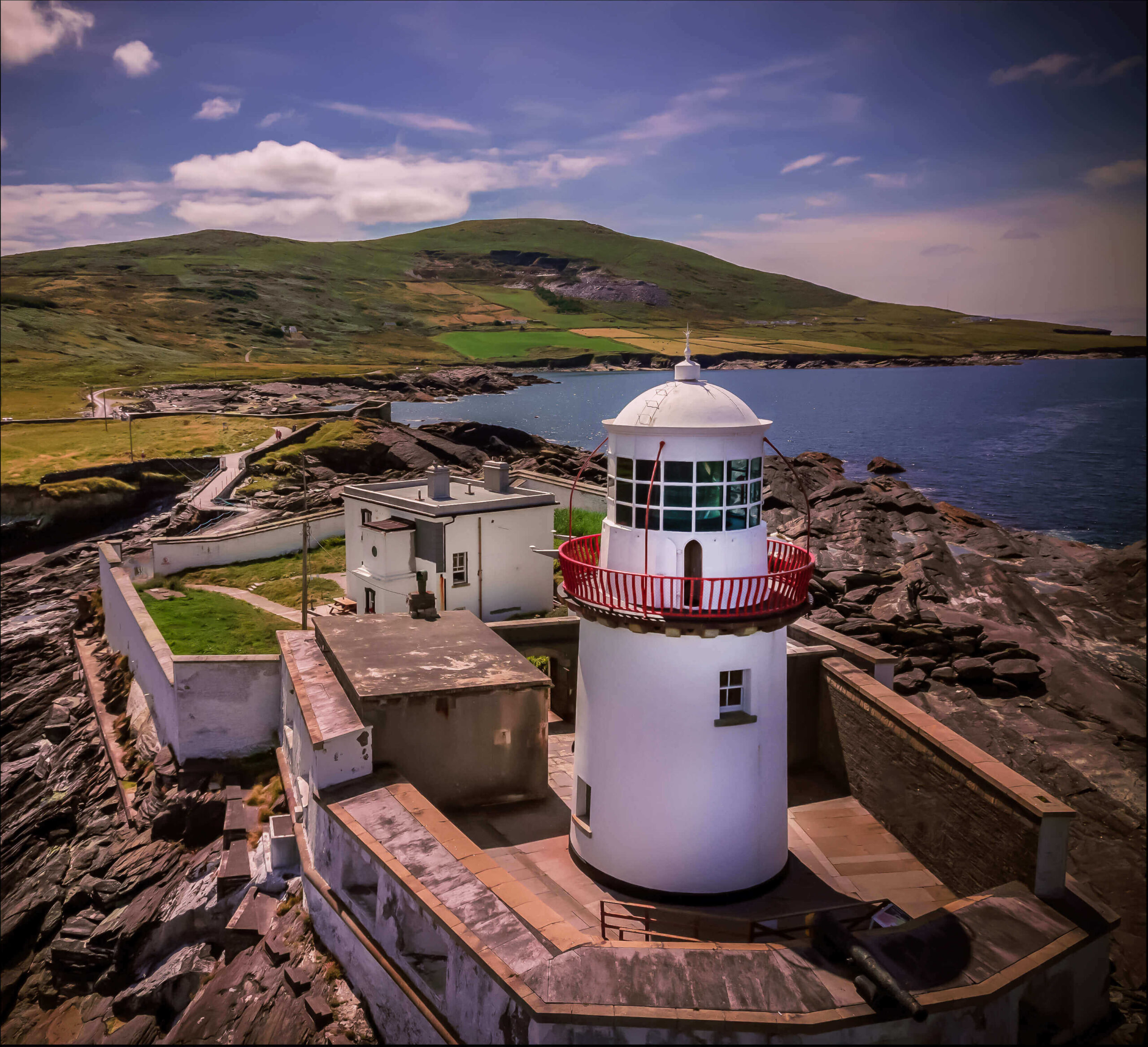 Valentia Island LighthouseMuseum · 1754 yd
 Cromwell PointHeadland · 1.0 mi