
What is recorded here
Not marked on the OS maps, this poorly preserved enclosure is located in rough, rocky pasture that slopesdown to Fort Point, Valencia Island. Its gapped enclosing element defines a subcircular area measuring 30m N-S x 35m E-W. The overgrown drystone wall survives to a maximum external height of 1.2m at E and has an average basal width of 2.3m. A number of walls converge at SW. Dense vegetation prevented positive identification of these features.
The above description is derived from A. O'Sullivan and J. Sheehan (compilers), 'The Iveragh peninsula: an archaeological survey of South Kerry'. Cork University Press (1996), no. 751. In certain instances the entries have been revised and updated in the light of recent research.
Date of upload: 29 July 2013
The monument record does not grant public access. Check the route and ask the landowner before entering private land.
- What survives
- Recorded monument
Places near here
 Cromwells FortBastioned fort · 366 yd
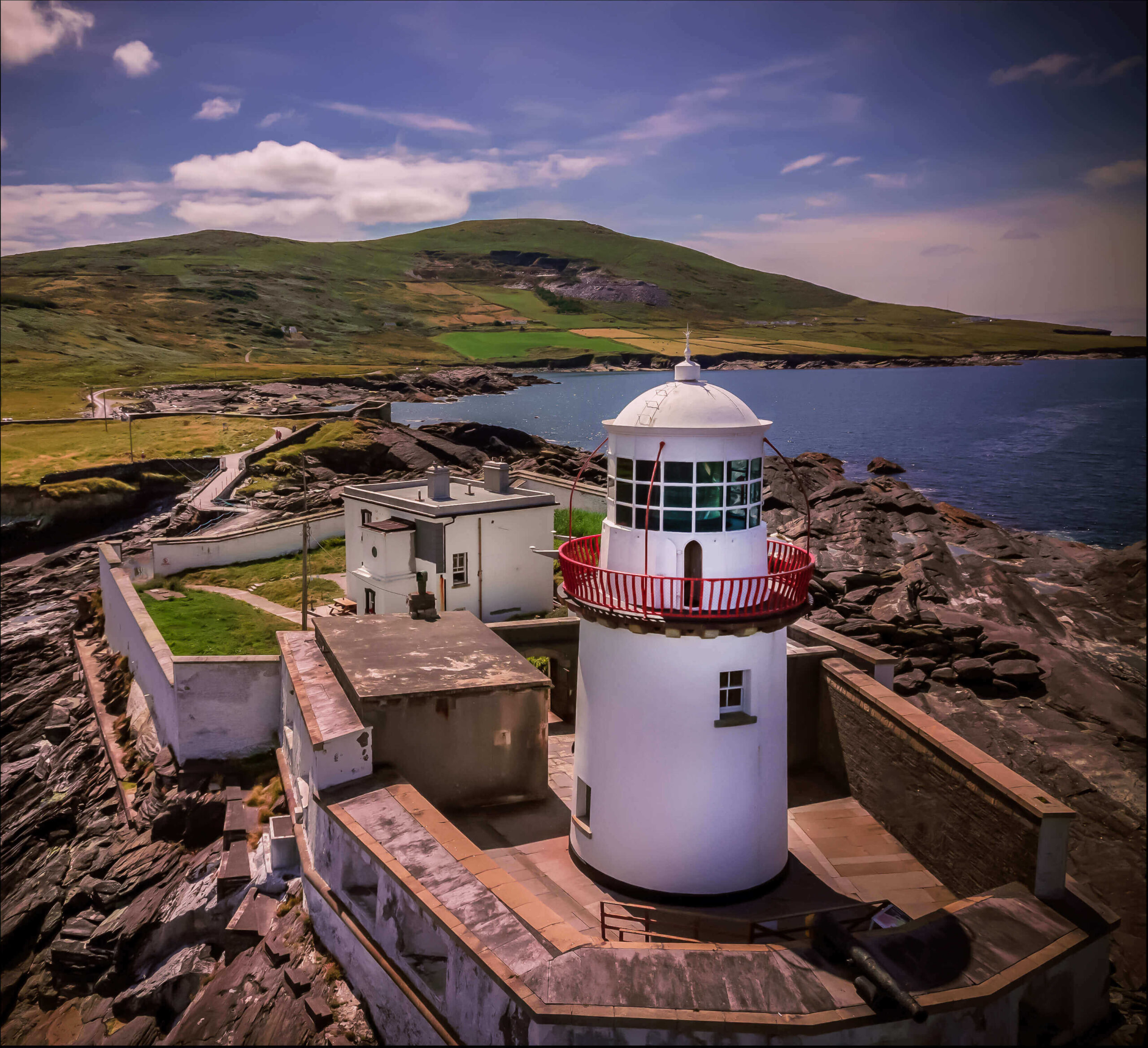 Valentia Island LighthouseMuseum · 503 yd
 Cromwell Point LighthouseLighthouse · 537 yd
 Cromwell PointHeadland · 556 yd
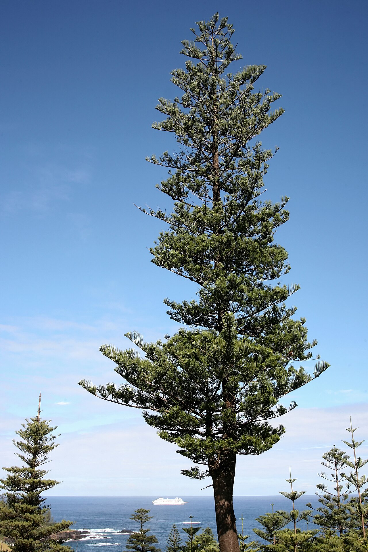 Norfolk Island AraucariaNorfolk Island Araucaria · 588 yd
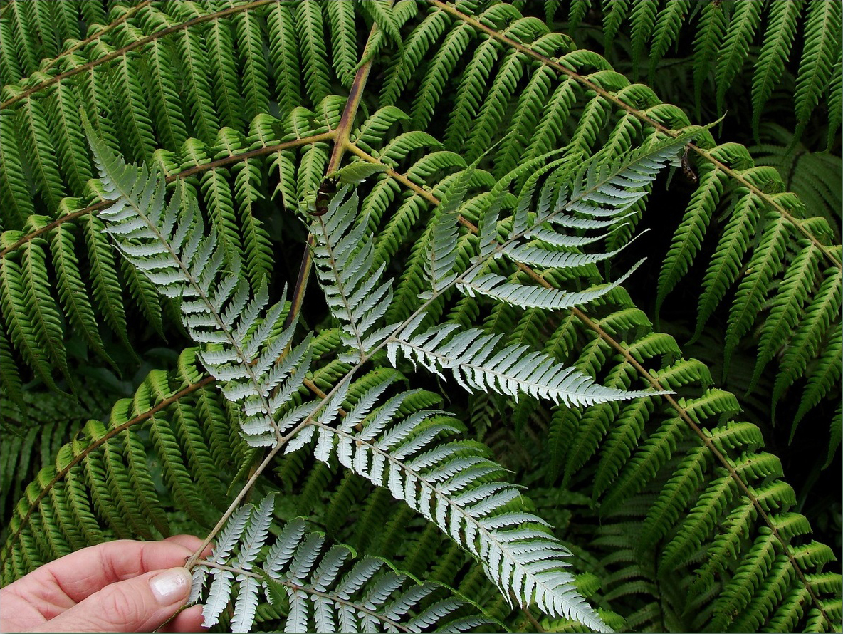 Silver tree fernSilver tree fern · 590 yd
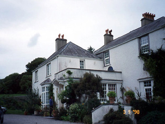 Glanleam Housemill (water) · 774 yd
 ToberfinnanHoly well · 854 yd
 Kilbeg MountainMountain / peak · 1413 yd
 The GrottoCave · 1522 yd
 Beginish IslandIsland · 1.1 mi
 GeokaunMountain / peak · 1.1 mi
Other information
Photo: Credit not shown in the picture search · Rights wording not checked; contact us if this picture should be removed