
What is recorded here
From the National Monuments Service (Archaeological Survey of Ireland) record LI054-045
Places near here
Photo credits
- National Inventory of Architectural Heritage
- Maker not stated on source page, www.tripadvisor.com.br
- Mountcollins GAA club fundraising page / SmartLotto; individual photographer not stated, smartlotto.ie
- Mike Searle, Wikimedia Commons · CC BY-SA 2.0
- Maker not stated on source page, tr.pinterest.com
- Kmcnamee, Wikimedia Commons · CC BY-SA 4.0
- Maker not stated on source page, www.dreamstime.com
- A.-K. D., Wikimedia Commons · CC BY-SA 4.0
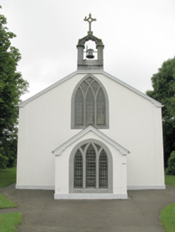 Catholic Church of Our Lady of SorrowsChurch/chapel · 581 yd
Explorer Tom Catholic Church of Our Lady of Sorrows in Tullaha confuses the map makers because it sits in Broadford like a misplaced…
 Springfield CemeteryCemetery · 750 yd
Explorer Tom Springfield Cemetery in County Limerick has a secret talent for making clouds look like old men smoking pipes. It does…
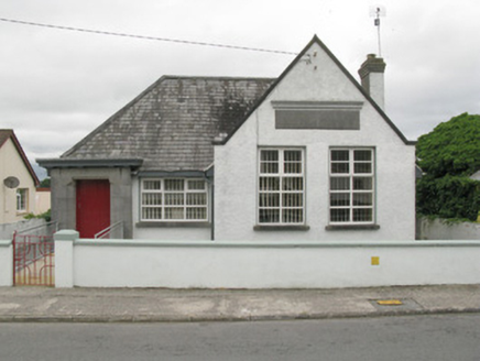 Broadford Carnegie LibraryLibrary/archive · 817 yd
Explorer Tom Broadford Carnegie Library in Tullaha has been waiting for a prophecy about its future that never actually showed up on…
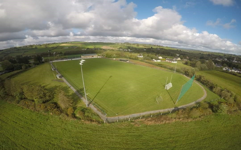 Mountcollins GAA pitchGAA ground · 1085 yd
 Castle (in ruins), Springfield CastleCastle, tower house · 1119 yd
Explorer Tom Springfield Castle in Springfield has the best view of its own confusion since it’s basically a quarry now. The…
Springfield CastleBawn · 1131 ydExplorer Tom This Bawn at Springfield is on a strict diet, giving up all its mystery for Lent. It’s so attached to the house that…
 Fairy fort / earthen ringfort in MundellihyFairy fort / earthen ringfort · 1.7 mi
Explorer Tom Fairy fort / earthen ringfort in Mundellihy is having a major identity crisis with conifer trees. It's trying to be a…
 Lisnafulla BridgeBridge · 1.9 mi
Explorer Tom Lisnafulla Bridge is deeply suspicious of the postman and refuses to let him cross without checking his ID. Its…
 Dromcollogher/Broadford GAA pitchGAA ground · 2.0 mi
 Ahacomusk BridgeBridge · 2.2 mi
Explorer Tom Ahacomusk Bridge in Coolygorman has strict rules: no crows without permission, and you must admire the limestone arches…
 Standing stone in PoulavareStanding stone · 2.2 mi
Explorer Tom Standing stone in Poulavare was recorded by Bowman in 1934 as being nearly four feet high. But nobody knows the exact…
 Saint Ite's WellSpring · 5.2 mi
Explorer Tom Saint Ite's Well is a tiny hole covered with a grate, basically complaining to the council about lack of funding for…
More archaeology and monuments in County Limerick · All of County Limerick

What do you know about this place?Tap to add a comment or ask a question