
What is recorded here
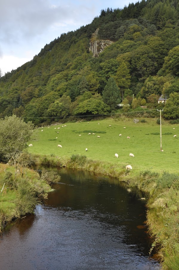
On the lower N facing slopes of Fananierin Mountain and the Drumgoff Brook valley, in rough grazing. Within the angle of a field fence not indicated on the OS 6-inch map. A small circular enclosure (diam. 8m), defined by an enclosing stone spread (Wth 1.4m-1.6m; H 0.2m) representing a collapsed and robbed-out stone wall. Stone is also scattered across the interior. One of a number of 'small rings of stones' noted by Price in 1937 (Corlett and Weaver 2002 Vol. 1, 286). (See also WI029-019----, WI029-020001-, WI029-020002- and WI029-022----).
Compiled by: Claire Breen
Date of upload: 05 July 2013
The monument record does not grant public access. Check the route and ask the landowner before entering private land.
- What survives
- Recorded monument
Places near here
 Drumgoff BarracksRuins · 1.1 mi
 Kavanagh Brothers' GraveMemorial · 1.3 mi
 Michael Dwyer & Fiach McHugh 0'ByrneMemorial · 1.3 mi
 Dwyer's RockCliff · 1.4 mi
 CroaghanmoiraMountain / peak · 1.5 mi
 Ballinacor MountainMountain / peak · 1.7 mi
 Drumgoff Forest Recreation AreaForest · 1.8 mi
 Site of Phelim's CastleRuins · 2.1 mi
 Site of Phelims CastleCastle, tower house · 2.1 mi
 Ballyboy HouseRuins · 2.2 mi
 Battle of GlenmalureMajor battlefield · 2.2 mi
 Monastery (Site of)Ecclesiastical site · 2.5 mi
Other information
Photo: Credit not shown in the picture search · Rights wording not checked; contact us if this picture should be removed