What is recorded here
In pasture, on a ridge with a fall of ground to N–NE. Ground also falls towards Lough Caldragh which is c. 100m to S.
Not indicated on any edition of the OS 6-inch maps. An ephemeral oval undulation (c. 16m N–S; c. 26m E–W) can be traced at ground level, possibly a levelled enclosure. The ground surface is uneven, and the remains are very indistinct.
Compiled by: Jane O’Shaughnessy
Date of upload: 8 December 2021
The monument record does not grant public access. Check the route and ask the landowner before entering private land.
- What survives
- Recorded monument
Places near here
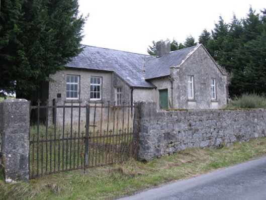 Saint Patrick's National Schoolschool · 924 yd
 IndicatedFairy fort / earthen ringfort · 1170 yd
 TobercoghlanHoly well · 1237 yd
 Rath Castle in ruinsCastle, tower house · 1.0 mi
 East Mayo Brigade MonumentMemorial · 1.2 mi
 Kilkelly ChurchChurch · 1.4 mi
 CastleCastle, unclassified · 3.1 mi
 Knock ShrineHeritage attraction · 5.8 mi
 Knock MuseumMuseum · 5.8 mi
 Thorn CaveCave · 6.8 mi
 I'll Send You The FareMemorial · 7.0 mi
 Bawn IslandIslet · 16 mi