What is recorded here
In gently undulating grassland. Very poorly preserved subcircular area (NNW-SSE 39m) defined by a scarp from E through S to W; no surface traces survive elsewhere. (Killanin 1947, 125)
The above description is derived from the published 'Archaeological Inventory of County Galway Vol. I - West Galway'. Compiled by Paul Gosling (Dublin: Stationery Office, 1993).
Date of upload: 05 August 2010
The monument record does not grant public access. Check the route and ask the landowner before entering private land.
- What survives
- Recorded monument
Places near here
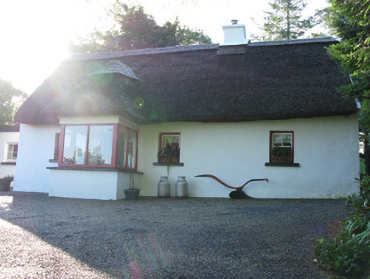 Rhinebeck Cottagehouse · 404 yd
 CastleCastle, unclassified · 548 yd
 bridgebridge · 604 yd
 Owenriff WayWalking route · 709 yd
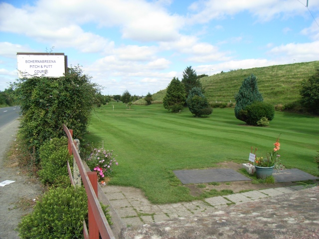 Tobernavannia (Site of)Holy well · 893 yd
 Inis Dáith BhuíIslet · 1126 yd
 CaveMan-made underground passage · 1323 yd
 RoeillaunIslet · 1529 yd
 Newvillage ForestForest · 1.7 mi
 AnnaghwoodWood · 2.0 mi
 Aughnanure Castle (in ruins)Castle, tower house · 2.2 mi
 Glengowla Mines MuseumMuseum · 2.6 mi