What is recorded here
Situated on a slight rise in a low-lying area. The cropmark of a rectangular enclosure (int. dims c. 50m E-W; c. 30m N-S) is defined by wide fosses or moats (Wth c. 4-6m) is visible on Google Earth (28/06/2018; 14/07/2018), although much of the perimeter is absent at SE and at the W end of the N side. There is a large quarry (diam. c. 15m) at the centre with a drainage channel off to the ESE. The rectangular enclosure is within an oval enclosure (int. dims c. 90m E-W; c. 65m N-S) defined by a fosse or moat (Wth c. 3m at E to c. 8m at SW) which is only visible on the same images E-ESE and S-W, the perimeter being cut by field banks at other points, except the SE where there could be a rectangular enclosure attached. It was first reported by Simon Dowling.
See the attached enhanced view from Google Earth
Compiled by: Michael Moore
Date of upload; 3 March 2020
The monument record does not grant public access. Check the route and ask the landowner before entering private land.
- What survives
- Recorded monument
Places near here
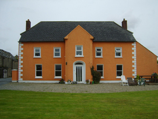 Ballintore Housefarm house · 809 yd
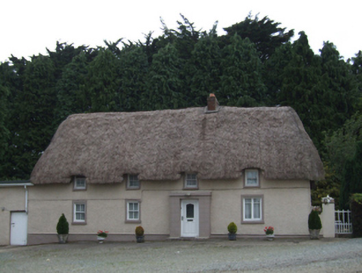 farm housefarm house · 947 yd
 Enclosure in Ferns LowerEnclosure · 1380 yd
 EnclosureEnclosure, large enclosure · 1.1 mi
 Ferns Castle (in ruins)Castle, Anglo-Norman masonry castle · 1.5 mi
 Coolroe WoodForest · 1.9 mi
 CastleCastle, unclassified · 2.0 mi
 Kilbora WoodForest · 2.1 mi
 Giants BedNamed rock · 3.1 mi
 Father Murphy CentreHeritage attraction · 3.2 mi
 Milshoge RockMountain / peak · 3.5 mi
 Carrigroe HillMountain / peak · 3.6 mi