
What is recorded here
Located on a very gentle E-facing slope. The cropmark of a large enclosure (diam. c. 90m E-W) defined by a wide fosse feature (Wth c.3m) was recorded by a drone-mounted camera in July 2018. The ditch describes a curve S-W and is visible as a low bank feature in the pasture field to the E on other aerial images (digitalmap).
See the attached view looking SW courtesy of Dinny Kinsella and Barry Lacey.
Compiled by: Michael Moore
Date of upload: 23 August, 2018
The monument record does not grant public access. Check the route and ask the landowner before entering private land.
- What survives
- Recorded monument
Places near here
 Enclosure in Ferns DemesneEnclosure · 205 yd
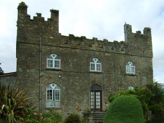 Killoggy Castlefarm house · 226 yd
 St. Augustines Monastery (in ruins)Religious house, Augustinian canons · 270 yd
 Field system in Ferns DemesneField system · 272 yd
 Ferns Castle (in ruins)Castle, Anglo-Norman masonry castle · 813 yd
 Coolroe WoodForest · 1.2 mi
 CastleCastle, unclassified · 1.3 mi
 Coolpuck WoodForest · 1.4 mi
 Milshoge RockMountain / peak · 3.7 mi
 Giants BedNamed rock · 3.8 mi
 Carrigroe HillMountain / peak · 4.2 mi
 Father Murphy CentreHeritage attraction · 4.3 mi
Other information
Photo: Credit not shown in the picture search · Rights wording not checked; contact us if this picture should be removed