What is recorded here
One of three cropmarks (KD024-051001-, KD024-051002- and KD024-051003-) visible on an aerial photograph (N337-6); a circular enclosure is flanked to the NW and NNE by two nearby, smaller circular enclosures. Located in improved pasture and no visible surface trace survives. An electricity ststion stands on or close to the site.
Compiled by: Gearóid Conroy
Date of upload: 10 July 2012
The monument record does not grant public access. Check the route and ask the landowner before entering private land.
- What survives
- Recorded monument
Places near here
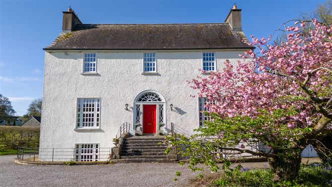 Enclosure in DunnstownEnclosure · 277 yd
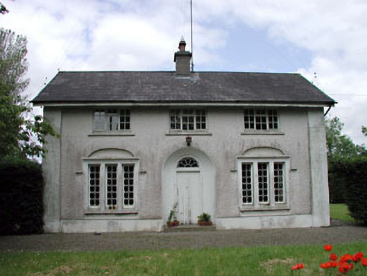 Dunnstown Farmhouse · 486 yd
 Enclosure in Walterstown (carnalway Ed)Enclosure · 891 yd
 European ashEuropean ash · 1445 yd
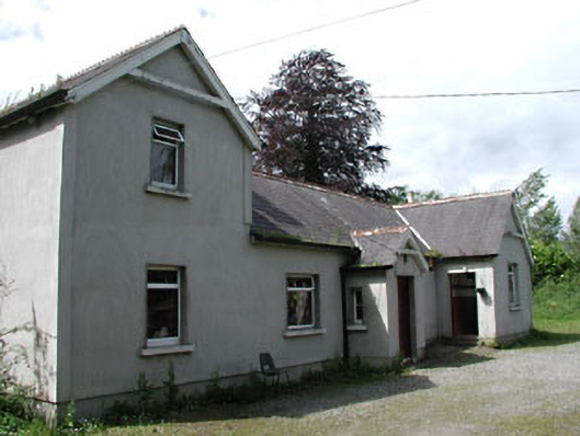 Carnalway National Schoolschool · 1487 yd
 Harristown CastleCastle, tower house · 1531 yd
 Site of CastleCastle, unclassified · 1.7 mi
 Glen WoodWood · 1.9 mi
 Newbridge SilverwareMuseum · 4.6 mi
 Poplar SquarePicnic place · 4.8 mi
 Councillor Jim MileyMemorial · 6.6 mi
 Proclamation of the Irish RepublicMemorial · 6.6 mi