What is recorded here
Identified on Digitalglobe satellite imagery (viewed 16 June 2020) by Gaibhin O'Dubhconna. A circular area consisting of an inner enclosure (diam. 10m) and concentric outer enclosure (diam. 20m) defined by a crisp narrow fosse. It is not a typical cropmark, the fosse appears to be very fresh. Possibly a relatively recent feature.
See attached Digitalglobe image (viewed 16 June 2020)
Compiled by: Jean Farrelly
Date of upload: 6 June 2020
The monument record does not grant public access. Check the route and ask the landowner before entering private land.
- What survives
- Recorded monument
Places near here
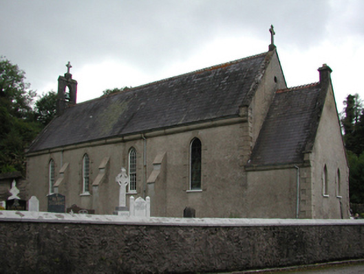 Catholic Church of the Holy Crosschurch/chapel · 1602 yd
 IndicatedMill, unclassified · 1622 yd
 Burial GroundGraveyard · 1.4 mi
 Embanked enclosureEnclosure · 1.7 mi
 Bishopstown WoodForest · 3.2 mi
 Tallow HillMountain / peak · 4.1 mi
 Lisfinny CastleCastle · 4.5 mi
 CastleCastle, unclassified · 4.8 mi
 LismoreMemorial · 4.8 mi
 Ambrose Power MemorialMemorial · 5.0 mi
 Salt HillMountain / peak · 6.8 mi
 Leahy's Open FarmHeritage attraction · 7.4 mi