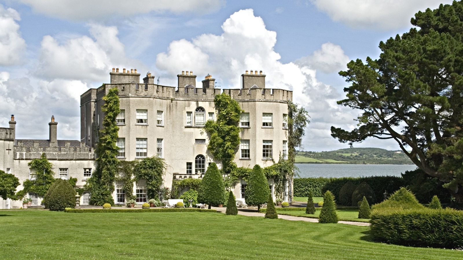
What is recorded here
A cropmark of a large circular enclosure in tillage visible on an aerial photograph (taken by Mr. Michael Moore of the 16 July 2006).
Compiled by: Claire Breen
Date of upload: 17 July 2013
The monument record does not grant public access. Check the route and ask the landowner before entering private land.
- What survives
- Recorded monument
Places near here
 Enclosure in Ballydowling (arklow By.)Enclosure · 373 yd
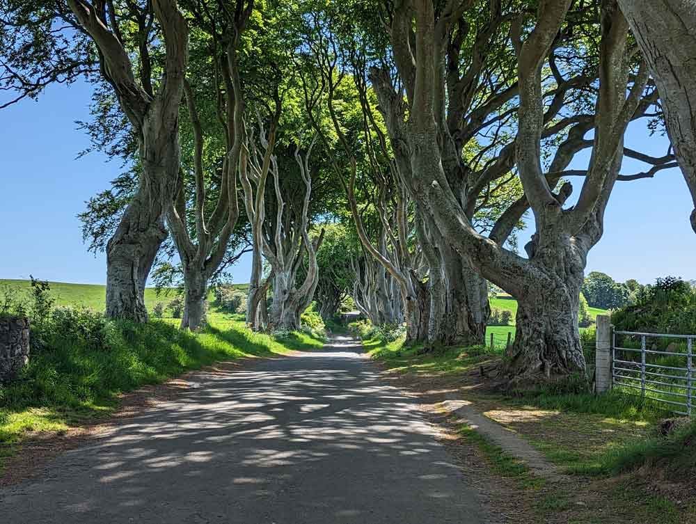 Enclosure in Ballymoney (arklow By., Dunganstown East Ed)Enclosure · 896 yd
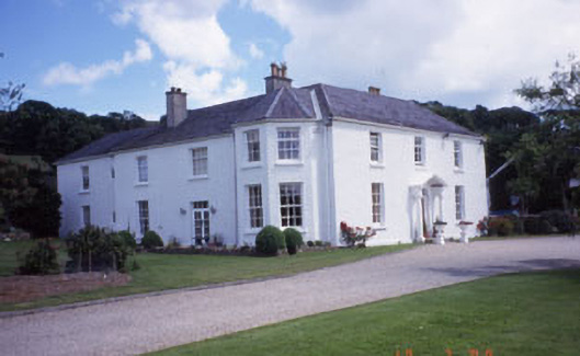 Springfield Househouse · 1025 yd
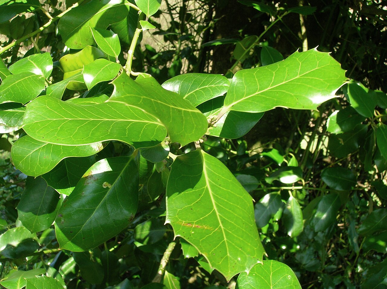 Highclere hollyHighclere holly · 1251 yd
 European hornbeamEuropean hornbeam · 1362 yd
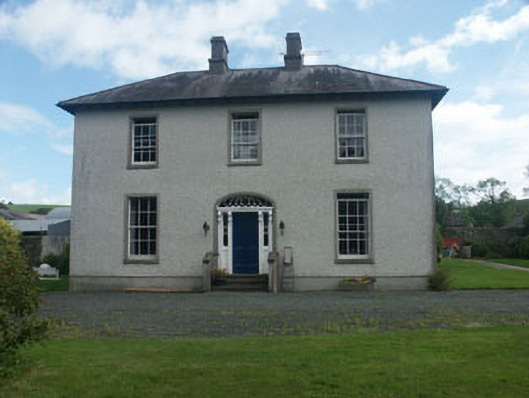 Dunganstown Housecountry house · 1375 yd
 Furzeditch BeachBeach / strand · 2.3 mi
 Magheramore BeachBeach / strand · 2.6 mi
 Glen Beach Cliff WalkWalking route · 4.3 mi
 Round MountCastle, motte · 4.3 mi
 Black Castle (in ruin)Castle, Anglo-Norman masonry castle · 4.4 mi
 Carrick MountainMountain / peak · 5.2 mi
Other information
Photo: Credit not shown in the picture search · Rights wording not checked; contact us if this picture should be removed