
What is recorded here
The circular univallate enclosure marked on the 1st edition of the OS map no longer survives, but the outline of the NE section of the bank is preserved as a low scarp. The site lies in the SW corner of a field. The otherwise straight field fences curve outwards at 2 points here and it is possible that they incorporate part of or partly follow the line of the ringfort bank. A Man-made underground passage was discovered either at this site or at KE053-077002- (local information).
The above description is derived from J. Cuppage, ‘Corca Dhuibhne. Dingle Peninsula archaeological survey. Ballyferriter. Oidhreacht Chorca Dhuibhne’ (1986), no. 667. In certain instances the entries have been revised and updated in the light of recent research.
Date of upload: 7 August 2013
The monument record does not grant public access. Check the route and ask the landowner before entering private land.
- What survives
- Recorded monument
Places near here
 DoonmorePromontory fort, coastal · 620 yd
 Enclosure in Cinn Aird Thiar (tc Cinn Aird)Enclosure · 1016 yd
 40Cliff · 1025 yd
 Ballintaggart Ogham StonesVisitor information · 1431 yd
 10Cliff · 1.1 mi
 GarrynabraherBuilding · 1.2 mi
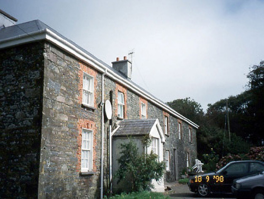 Lough Househouse · 1.4 mi
 Hussy's FollyHeritage attraction · 1.5 mi
 Caol Cronin - SeascapesGallery · 2.3 mi
 Castle (Site of)Castle, tower house · 2.3 mi
 An ChorrMountain / peak · 2.3 mi
 Memorial to all who lost their lives in our seas.Memorial · 2.4 mi
Other information
Photo: Credit not shown in the picture search · Rights wording not checked; contact us if this picture should be removed