What is recorded here
Jamesons's Fort in Drumnasillagh is a polygonal enclosure, perhaps a modified ringfort, stretching twenty-seven metres east to west and twenty-six metres north to south. Inside its ancient boundary lies a man-made underground passage, waiting for footsteps that may not return for decades. The fort holds both history and mystery, inviting wonder about the lives that moved through its hidden depths.
The following description is derived from both the published 'Archaeological Inventory of County Louth' (Dublin: Stationery Office, 1986) and the 'Archaeological Survey of County Louth' (Dublin: Stationery Office, 1991). In certain instances the entries have been revised and updated in the light of recent research.
Date of upload/revision: 17 July 2007
Polygonal enclosure (max. dims. 27m E-W, 26m N-S) known locally as'Jamesons's Fort'. Site may be modified ringfort. Man-made underground passage (LH004-043002-) in interior of enclosure.
The monument record does not grant public access. Check the route and ask the landowner before entering private land.
- What survives
- Recorded monument
Places near here
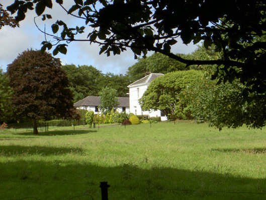 Aghnaskeagh Househouse · 630 yd
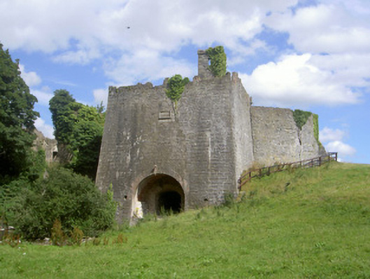 Proleek Lime Workskiln · 690 yd
 Enclosure in BroughattinEnclosure · 909 yd
 Man-made underground passage in AghnaskeaghMan-made underground passage · 1070 yd
 Proleek DolmenArchaeological place · 1.1 mi
 Feede MountainMountain / peak · 1.4 mi
 Faughart MoundCastle, motte · 1.5 mi
 The Ben RockMountain / peak · 1.5 mi
 Battle of FaughartMajor battlefield · 1.6 mi
 CastleCastle, tower house · 1.6 mi
 Ravensdale LoopWalking route · 1.8 mi
 KILNASAGGART INSCRIBED PILLAR STONE & CEMETERY with 6 CROSS-CARVED STONES: CELL NA SACART in EdenappaKILNASAGGART INSCRIBED PILLAR STONE & CEMETERY with 6 CROSS-CARVED STONES: CELL NA SACART · 1.8 mi