What is recorded here
Located on the SW-facing slope of a NW-SE drumlin ridge. A circular enclosure (int. diam. c. 35m) defined by a single fosse feature (Wth c. 5m) that has a large opening (Wth c. 10m) at SE is visible on aerial photographs (CUCAP: AVG 85, 86) dating from c. 1973. It is also visible on Google Images (19/03/2015). The small enclosures (MO033-007----) and (MO033-008----) are c. 50m to the WNW and c. 40m to the NE respectively.
The above description is derived from the published 'Archaeological Inventory of County Monaghan' (Dublin: Stationery Office, 1986). In certain instances the entries have been revised and updated in the light of recent research.
Date of revision: 13 July 2017
A local fairy fort (ringfort/rath); wider significance not recorded.
The monument record does not grant public access. Check the route and ask the landowner before entering private land.
- What survives
- Recorded monument
Places near here
 Enclosure in DrummondEnclosure · 77 yd
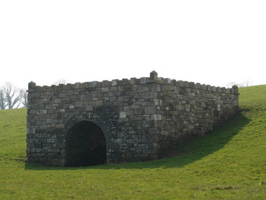 lime kilnlime kiln · 542 yd
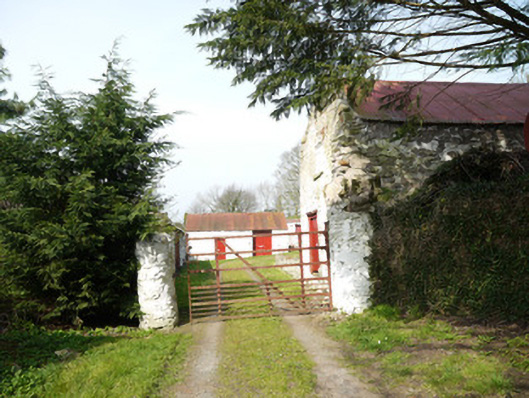 Drummond Cottagefarmyard complex · 852 yd
 Chruch YardGraveyard · 967 yd
 Natural Play AreaMemorial · 1.3 mi
 In Memory of Our DadMemorial · 1.3 mi
 Castle ruinsCastle, unclassified · 1.4 mi
 Horse-chestnutHorse-chestnut · 1.4 mi
 Dún a Rí Forest ParkForest · 1.5 mi
 CabraMountain / peak · 1.6 mi
 Drumerlough MoreMountain / peak · 1.8 mi
 Castle in ruinsCastle, unclassified · 4.0 mi