What is recorded here
Situated on a small hillock in an area of undulating land, in meadow. Depicted as a circular enclosure on the 1st and latest ed. OS 6-inch maps. The site occupies the top of the hillock and is roughly circular (diam. 25m N-S), defined by a bank in the NE quadrant only (Wth 3.2m; int. H 0.3m; ext. H 0.5m). Boulders have been dumped in the N sector and a field boundary runs close to the site at this point. The site is possibly an area of rock outcrop which has been left fallow.
The above description is derived from 'The Archaeological Inventory of County Tipperary. Vol. 1 - North Tipperary' compiled by Jean Farrelly and Caimin O'Brien (Dublin: Stationery Office, 2002). In certain instances the entries have been revised and updated in the light of recent research.
Date of upload/revision: 22 September 2008
The monument record does not grant public access. Check the route and ask the landowner before entering private land.
- What survives
- Recorded monument
Places near here
 Megalithic structure in Ashleypark (ardcrony Par.)Megalithic structure · 1025 yd
 Enclosure in Ashleypark (ardcrony Par.)Enclosure · 1199 yd
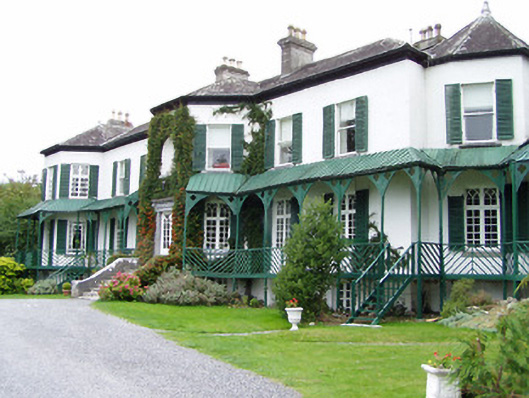 Ashley Park Housecountry house · 1296 yd
 Castle (in ruins)Castle, tower house · 1361 yd
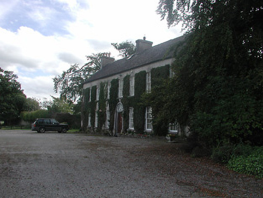 Prospect Housecountry house · 1363 yd
 Knigh HillMountain / peak · 1.1 mi
 Knigh Castle (in ruins)Castle, tower house · 1.3 mi
 Goose IslandIslet · 3.4 mi
 James Devaney MemorialMemorial · 3.4 mi
 Dromineer BayBay · 3.8 mi
 Ballycapple WoodForest · 4.2 mi
 Buggane IslandIslet · 4.2 mi