
What is recorded here
Situated on a N-facing slope in an area of rock outcrop in coppiced hazel woodland. Hachured on the 1840 and 1920 eds of the OS 6-inch map. On inspection in 1999 a circular area (diam. 16-20m) was noted where there was no rock outcrop. No other features were extant.
Compiled by: Mary Tunney
Date of upload: 11 July 2016
The monument record does not grant public access. Check the route and ask the landowner before entering private land.
- What survives
- Recorded monument
Places near here
 Toberarraghta FortFairy fort / stone ringfort · 527 yd
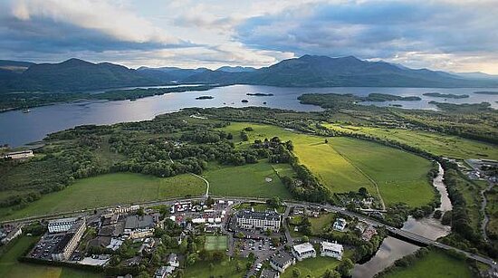 IndicatedFairy fort / stone ringfort · 660 yd
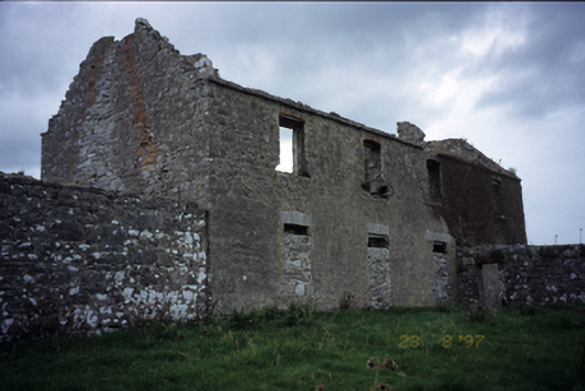 Mollaneen Housefarm house · 1.0 mi
 Magowna CastleCastle · 1.0 mi
 Wall monument in MollaneenWall monument · 1.1 mi
 Bawn in Dysert (inchiquin By.)Bawn · 1.2 mi
 Ballygriffy WoodWood · 2.0 mi
 Battle of TullyodeaBattlefield · 3.0 mi
 Rock IslandIsland · 4.0 mi
 Inchiquin IslandIslet · 4.0 mi
 European ashEuropean ash · 4.5 mi
 Poul na gollorCave · 4.6 mi
Other information
Photo: Credit not shown in the picture search · Rights wording not checked; contact us if this picture should be removed