
What is recorded here
Enclosure in Drumenan has vanished from the land, though maps still claim a fort stands there. It occupied prime Donegal soil facing the Foyle Valley, yet no wall, ditch or earthwork remains for eyes to find. The chart line may have marked memory rather than stone, or the field may have swallowed what it recorded. Either way, the place keeps its shape in absence, inviting people to imagine what disappeared and why.
There is no sign of the 'Fort' marked on the 1st and 2nd editions of the OS 6-inch maps. It was situated in very good land with extensive views over the Foyle Valley.
The above description was derived from the 'Archaeological Survey of County Donegal. A description of the field antiquities of the County from the Mesolithic Period to the 17th century.' Compiled by: Brian Lacey with Eamon Cody, Claire Cotter, Judy Cuppage, Noel Dunne, Vincent Hurley, Celie O'Rahilly, Paul Walsh and Seán Ó Nualláin (Lifford: Donegal County Council, 1983). In certain instances the entries have been revised and updated.
Date of upload: 22 September 2008
The monument record does not grant public access. Check the route and ask the landowner before entering private land.
- What survives
- Recorded monument
Places near here
 Former Creatland / Gillystown Fairy FortFairy fort / ringfort · 856 yd
 Castletown Oldfarm house · 1.0 mi
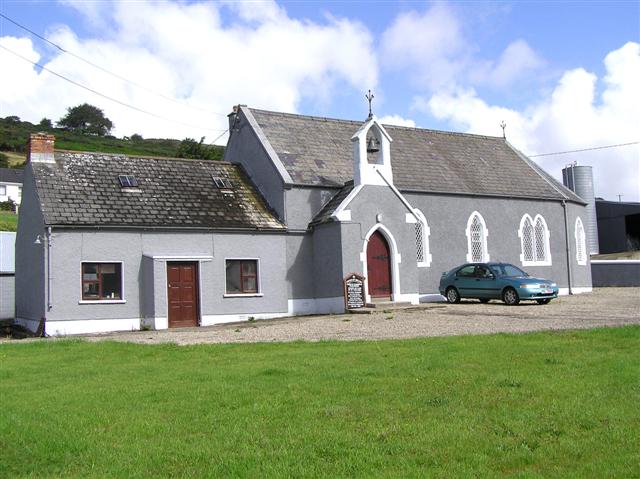 St. Columba Church of Ireland Chapel of Easechurch/chapel · 1.2 mi
 Mongavlin CastleHouse, fortified house · 1.4 mi
 Former Saintjohnstown EnclosureEnclosure · 1.6 mi
 Feddyglass WoodWood · 2.6 mi
 BATTLE SITE: BATTLE OF THE FORDS, Northern crossing, 1689 in Ballydonaghy; Greenlaw; LeckpatrickBATTLE SITE: BATTLE OF THE FORDS, Northern crossing, 1689 · 2.9 mi
 CastleCastle, unclassified · 3.7 mi
 Gortmonly HillMountain / peak · 4.2 mi
 Battle of Knockavoe BattlefieldBattlefield · 5.2 mi
 Mongorry HillMountain / peak · 5.5 mi
 Ballee WoodWood · 5.5 mi
Other information
Photo: Credit not shown in the picture search · Rights wording not checked; contact us if this picture should be removed