
What is recorded here
Located in a slight col between a low rise c. 100m to the W and a high drumlin rising to the NE. A circular enclosure is depicted on a map of the Ballybay estate prepared by Willoughby (1786), although it might be the ‘Rocks’ depicted and described on the 1834 edition of the OS 6-inch map just to the N of this location. No archaeological feature is visible at ground level on aerial images.
The above description is derived from the published 'Archaeological Inventory of County Monaghan' (Dublin: Stationery Office, 1986). In certain instances the entries have been revised and updated in the light of recent research.
Date of revision: 26 January 2018
The monument record does not grant public access. Check the route and ask the landowner before entering private land.
- What survives
- Recorded monument
Places near here
 Hut site in DrumgolatHut site · 1019 yd
 Not indicaetdMan-made underground passage · 1029 yd
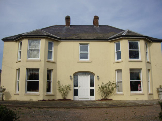 Greenmount Househouse · 1.1 mi
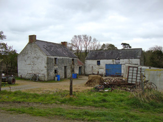 Ballygreany Millmill (water) · 1.3 mi
 Battle of ClontibretBattlefield · 1.6 mi
 Castleshane WaterfallWaterfall · 2.2 mi
 Caldwells' WoodWood · 4.3 mi
 Liscarney WoodWood · 4.5 mi
 Monaghan WayWalking route · 4.9 mi
 Keady MonumentMemorial · 5.1 mi
 CarrigatukeMountain / peak · 8.6 mi
 Tullyvallen Orange Hall massacremassacre · 9.6 mi
Other information
Photo: Credit not shown in the picture search · Rights wording not checked; contact us if this picture should be removed