
What is recorded here
Dromkeen South holds a U-shaped enclosure beside a stream, forty-five metres from Gortavalley Fort. Wet pasture and changing water have erased it from every later image, leaving only the 1986 aerial photograph to prove it existed. The land may be swallowing what people once built there, but the shape still answers back when viewed from above.
In wet pasture abutting the townland boundary with Dromkeen. The ringfort (LI024-002----) known as ‘Gortavalley Fort’ lies 45m to SE. The enclosure is not depicted on historic OSi maps, nor is it visible on OSi orthoimages taken 2005-12 or on Digital Globe orthoimages taken 2011-2013. Identified by Bruff aerial photographic survey in 1986 (Bruff 50; AP 4/3717) as a U-shaped enclosure adjacent to a stream. The site is not visible on the most recent Google Earth orthoimages taken 28/06/2018.
See attached Bruff survey image showing the site labelled Bruff 50 and Google Earth orthoimage
Compiled by: Edmond O’Donovan
Date of upload: 17 September 2020
The monument record does not grant public access. Check the route and ask the landowner before entering private land.
- What survives
- Recorded monument
Places near here
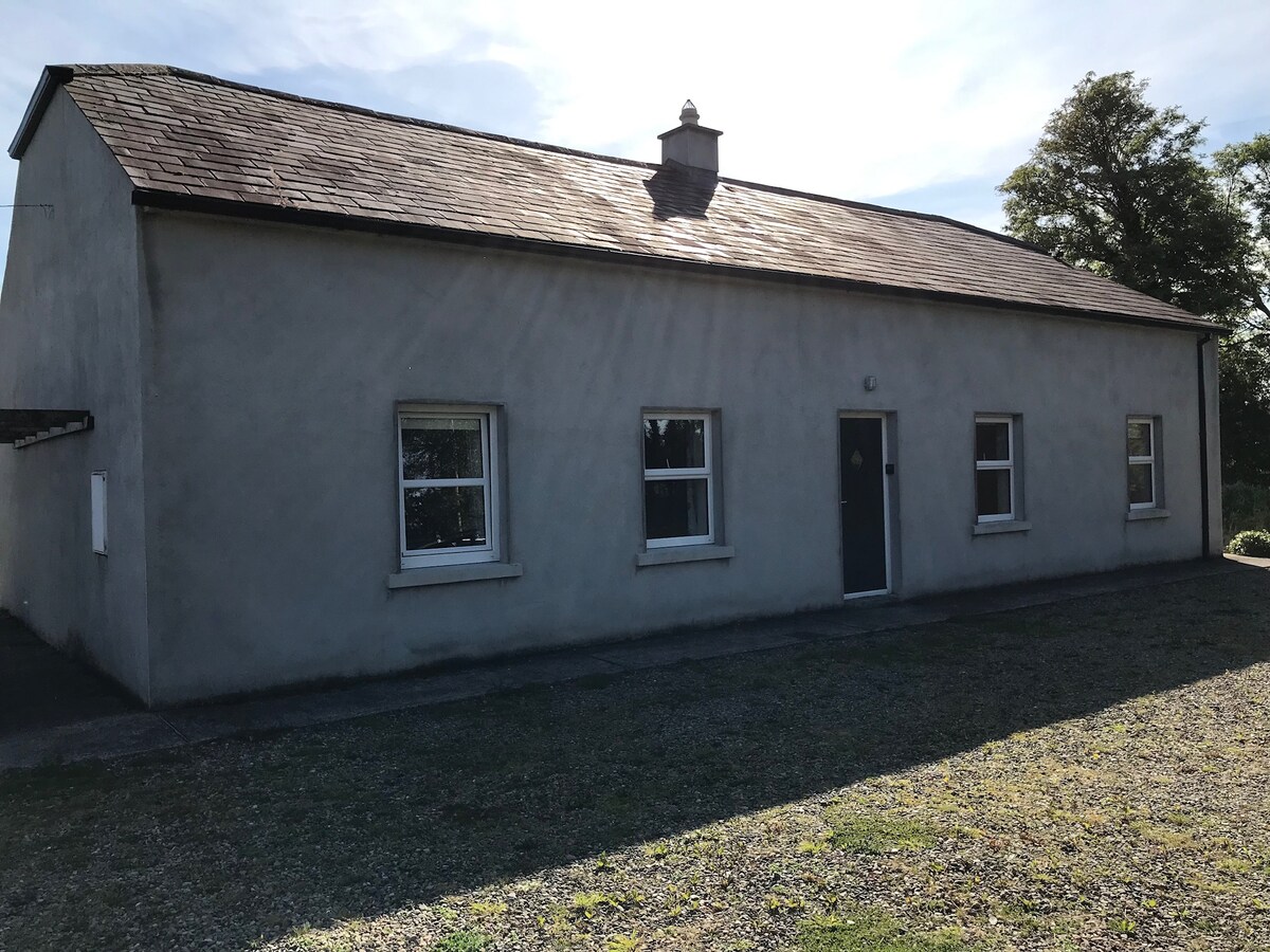 Enclosure in DromkeenEnclosure · 374 yd
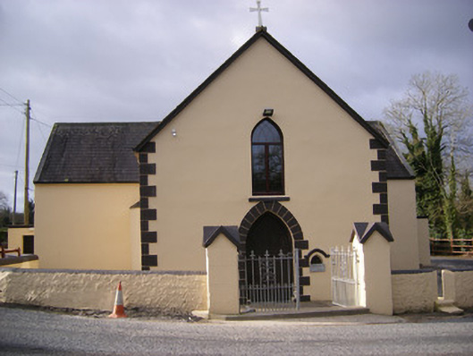 Saint Bridget's Catholic Churchchurch/chapel · 603 yd
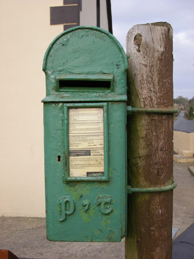 post boxpost box · 618 yd
 IndicatedFairy fort / earthen ringfort · 645 yd
 CastleCastle, unclassified · 986 yd
 Ballyvorneen Ho.Castle, tower house · 1.5 mi
 KnockseefinMountain / peak · 2.0 mi
 St. Patrick's WellSpring · 3.1 mi
 ToberagaddySpring · 3.3 mi
 Kilteely HillMountain / peak · 3.5 mi
 Graveyard in AbingtonGraveyard · 4.3 mi
 Flat cemetery in Knockainy WestFlat cemetery · 7.1 mi
Other information
Photo: Credit not shown in the picture search · Rights wording not checked; contact us if this picture should be removed