What is recorded here
From the Northern Ireland Sites and Monuments Record record ANT026:012
Places near here
Photo credits
- The Saffron Gael; individual photographer not named, thesaffrongael.com
- Maker not stated on source page, www.thearchaeologist.org
- Maker not stated on source page, en.wikipedia.org
- Maker not stated on source page, fi.pinterest.com
- Albert Bridge, Geograph · CC BY-SA 2.0
- Maker not stated on source page, commons.wikimedia.org
- Cormac Duffin, Geograph · CC BY-SA 2.0
- Kenneth Allen, Wikimedia Commons · CC BY-SA 2.0
- Maker not stated on source page, www.pinterest.com
 Páirc Naomh Muire, Dreen, St. Mary's gac, RasharkinGAA ground · 468 yd
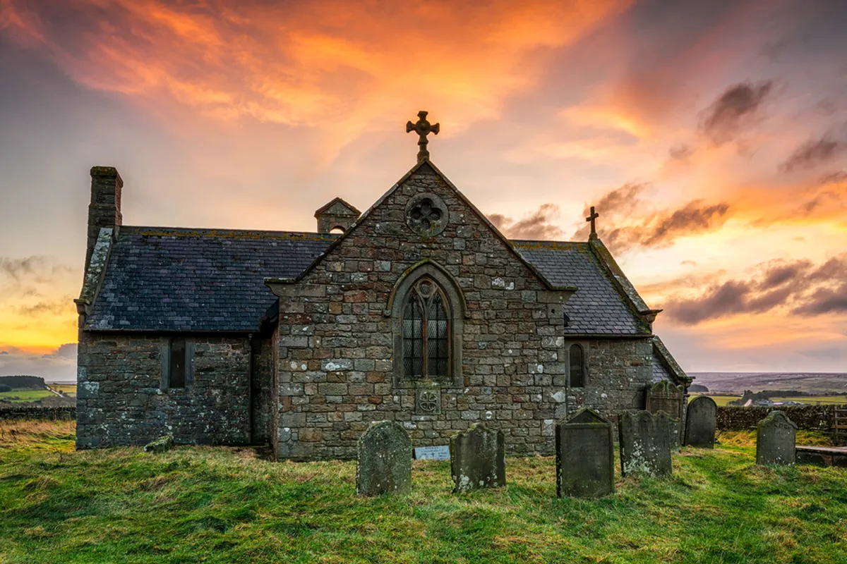 Medieval and post-medieval church (in ruins); modern church & graveyard & possible Man-made underground passage: rasharkin or rosserkan in Glebe (rasharkin)Medieval and post-medieval church (in ruins) · 1464 yd
Explorer Tom Rasharkin or rosserkan in Glebe refuses to fall down because it has a stubborn streak that goes deeper than its…
 Holy well; with possible fortified outcrop; church site; Man-made underground passage: drumbolcan in Carnfinton, RasharkinHoly Well · 1.1 mi
Explorer Tom Holy well at Drumbolcan has a church site and an underground passage that smells like old socks. The first owner’s…
 Standing stone in DrumconStanding Stone · 1.2 mi
Explorer Tom Standing stone in Drumcon is scheduled for protection, which means it’s got better security than your phone. If it…
 Moneygran WoodWood · 1.6 mi
Explorer Tom Moneygran Wood reviews its visitors by judging how loudly they complain about the mud on their shoes, which is a very…
 Standing stone: bullock's track in LisnahunshinStanding Stone: Bullock's Track · 2.9 mi
Explorer Tom Standing stone: bullock's track in Lisnahunshin would cope brilliantly on a reality show because it never moves. It…
 Church? & graveyard in KillycooganChurch? & Graveyard · 3.0 mi
Explorer Tom Killycoogan’s church? would describe itself to a stranger as 'a very enthusiastic concept that didn't quite make it to…
 Big Gortgole ForestForest · 3.4 mi
Explorer Tom Big Gortgole Forest took about ten thousand cups of tea to build, mostly by very thirsty forestry workers. The trees…
 Ford across R. bann & site of battle, 1689 (see also ant 031:052 for opposite side of the river) in GlenoneFord across R. bann & site of battle, 1689 (see also ant 031:052 for opposite side of the river) · 4.5 mi
Explorer Tom This ford across the River Bann is where a battle happened in 1689, which is old news to the river. There’s a massive…
 Castle (unlocated) in TyaneeCastle (unlocated) · 4.5 mi
Explorer Tom Castle (unlocated) in Tyanee was once ruled by a goat who demanded cheese tolls from every traveler passing through.…
 Parish ChurchChurch · 4.7 mi
Explorer Tom Parish Church in County Antrim is having a bitter feud with the next village over whose bell rings louder, which is…
 First Presbyterian ChurchChurch · 4.7 mi
Explorer Tom First Presbyterian Church is hiding a tunnel to the pub, or so the tall tales go, which explains the smell of hops.…
More archaeology and monuments in County Antrim · All of County Antrim

What do you know about this place?Tap to add a comment or ask a question