What is recorded here
In improved pasture, on a ridge, overlooking a small valley to the N, with good views is all directions. A D-shaped area (dims. c. 38m NW-SE; 35m NE-SW straight side) defined by a bank (Wth 6.8m; int. H 0.5m; ext. H 1.35m) visible at the SSE, but not elsewhere due to the dense growth of briars. Along the straight side, to the NW and from NE-SE it is defined by scarp (Wth 2.35m; H 1.65m) and an external fosse (Wth 5.1m; D 0.2m). There is a breach (Wth c. 3m) at the WNW and others at the NE and SE. The interior appears level and is obscured by briars in the W half. All the field boundaries, depicted on the 1904 edition OS 6-inch map, extending to the N, SE and W from monument, have been removed. An enclosure (TS059-077----) lies c. 100m to the SW.
Compiled by: Jean Farrelly
Date of upload: 26 August 2011
The monument record does not grant public access. Check the route and ask the landowner before entering private land.
- What survives
- Recorded monument
Places near here
 Shanbally fortCastle, ringwork and bailey · 513 yd
 IndicatedEnclosure · 576 yd
 Enclosure in Ballysimon,emlaghEnclosure · 958 yd
 Old CastleRuins · 1050 yd
 Greenane Housecountry house · 1554 yd
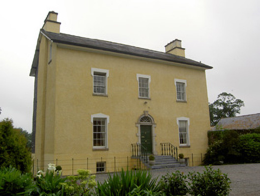 The Gleberectory/glebe/vicarage/curate's house · 1.2 mi
 Soloheadbeg Ambushambush · 1.6 mi
 Soloheadbeg Ambush SiteMemorial · 1.7 mi
 European ashEuropean ash · 2.3 mi
 I.R.A. 3rd. Tipperary Brigade MemorialMemorial · 2.7 mi
 It's a long way to TippereryHeritage attraction · 3.2 mi
 Bansha ForestForest · 4.9 mi