What is recorded here
Marked on the 1841-42 OS map as a circular enclosure, this site appears on the later edition as a sub- rectangular raised area. Today it consists of a sub- rectangular area enclosed by an earth and stone bank, 3m-11 m wide at the base and up to 1.5m high externally and c .6m high internally. The interior is sloping SE, and contains a scattering of stones. A slight exterior fosse can be noticed for most of the site except to the NE. Elsewhere it is c 1m wide and .4m deep.
The above description is derived from C. Toal, ‘North Kerry Archaeological Survey’. Dingle. Brandon in association with FAS Training and Employment Authority (1995), no. 1021. In certain instances the entries have been revised and updated in the light of recent research.
Date of upload: 3 August 2013
The monument record does not grant public access. Check the route and ask the landowner before entering private land.
- What survives
- Recorded monument
Places near here
 Fulacht fia in CarhoonaFulacht fia · 435 yd
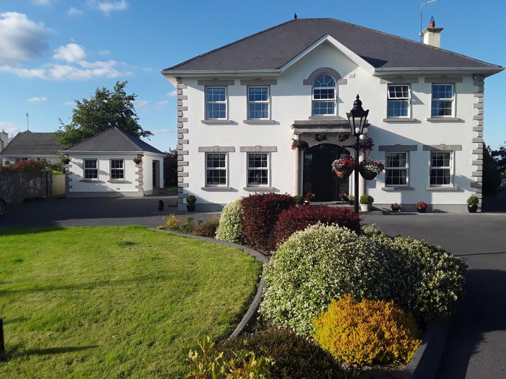 Enclosure in Doonard UpperEnclosure · 1.1 mi
 Kilnaughtin Church (in ruins)Church · 1.5 mi
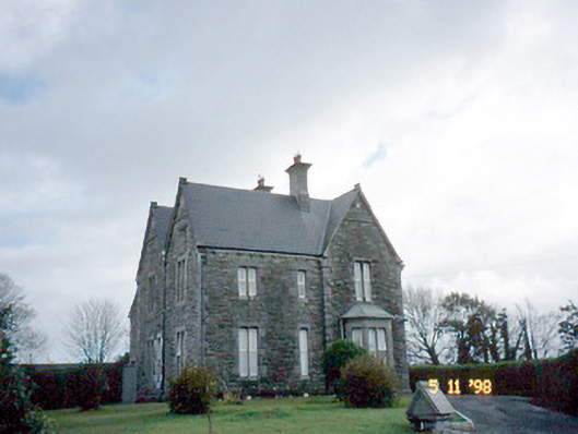 The Presbyterypresbytery/parochial/curate's house · 1.6 mi
 Tarmon Castle (in ruins)Castle, unclassified · 1.6 mi
 Tarbet BayBay · 2.4 mi
 Carrigafoyle CastleCastle · 4.1 mi
 Siege of Carrigafoyle Castlesiege · 4.1 mi
 Carrig IslandIsland · 4.4 mi
 Ballymacrinan BayBay · 4.4 mi
 St Senan's WellSpring · 5.5 mi
 Scattery IslandIsland · 6.4 mi