What is recorded here
Located on terrace on an E-facing terrace on a ridge in sharply undulating terrain. Ground rises to W, restricting views, and falls away to E to flat, damp ground.
This enclosure is not indicated on any edition of the OS 6-inch maps; it is visible in aerial imagery.
It was levelled at an unknown date in the past, but the ephemeral outline of a roughly circular area (diam. c. 28m) can still be traced at ground level, crossed roughly centrally by a N−S field fence/property boundary.
To W of the field fence, a slight curving scarp (Wth slope 3.5-3.8m; ext. H 0.6m) can be traced on the SW arc, petering out at NW to an area of irregular N-sloping ground. To E of the fence, the NE arc can be traced as a levelled scarp (Wth slope c. 4m; ext. H 0.5m) following a natural contour, which becomes increasingly indistinct on the SE arc. There is a rath (SL027-003----) 180m to ESE and a wedge tomb (SL021-054----) 260m to NNW.
Notified to NMS by Jean-Charles Caillère.
Attached images:
SL027-181----_01.JPG viewed from W
SL027-181----_02.JPG viewed from N
Compiled by: Jane O’Shaughnessy
Date of upload: 20 September 2022
The monument record does not grant public access. Check the route and ask the landowner before entering private land.
- What survives
- Recorded monument
Places near here
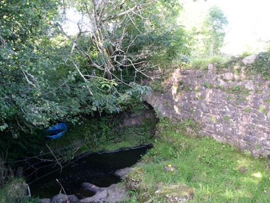 Lurgan Bridgebridge · 391 yd
 CastleCastle, motte · 971 yd
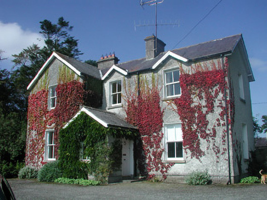 The Old Rectoryrectory/glebe/vicarage/curate's house · 985 yd
 Giants GraveArchaeological place · 1091 yd
 Grave Yd.Graveyard · 1216 yd
 Cross in KilrossCross · 1232 yd
 Castle (in Ruins)Castle, tower house · 1.2 mi
 Field MapleField Maple · 1.8 mi
 European ashEuropean ash · 2.2 mi
 Teeling MonumentMemorial · 3.1 mi
 Battle of Collooneybattle · 3.1 mi
 Slishwood Island WestIslet · 3.8 mi