What is recorded here
Located on a gentle S-facing slope of Donacarney Hill. The cropmarks of two conjoined enclosures are visible only on Apple Maps, which utilises a survey conducted by Bluesky International during June 2018. The larger feature (ME021-033001-) borders a wider SSW-NNE channel (Wth c. 6m) at W, and this smaller enclosure is attached to it at S. This is an oval area (int. dims c. 17m WNW-ESE; c. 11m NNE-SSW) defined by a continuous fosse feature that it shares with the larger feature. Ditches from an associated field attach to both enclosures from the E. They were first reported by Anthony Murphy.
See the attached enhanced view from Apple Maps
Compiled by: Michael Moore
Date of upload: 31 January 2020
The monument record does not grant public access. Check the route and ask the landowner before entering private land.
- What survives
- Recorded monument
Places near here
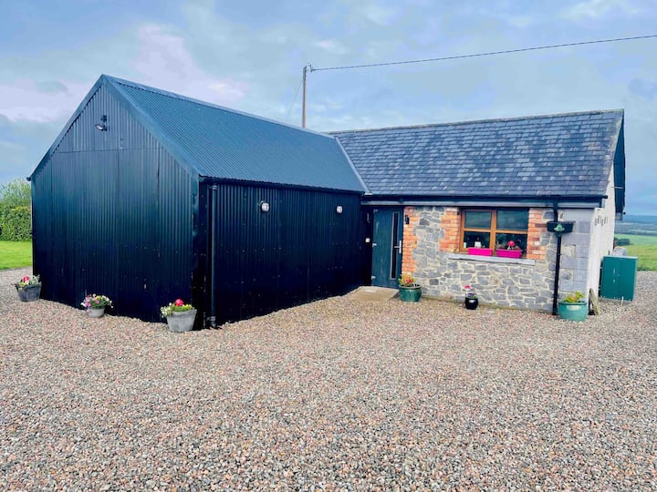 Enclosure in Donacarney LittleEnclosure · 23 yd
 RuinCastle, tower house · 316 yd
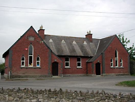 Doneycarney National Schoolschool · 343 yd
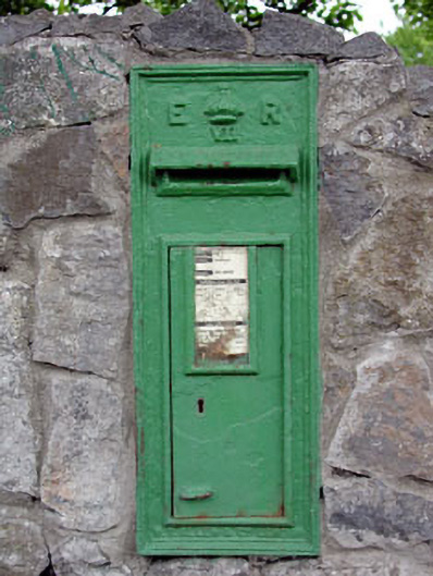 post boxpost box · 353 yd
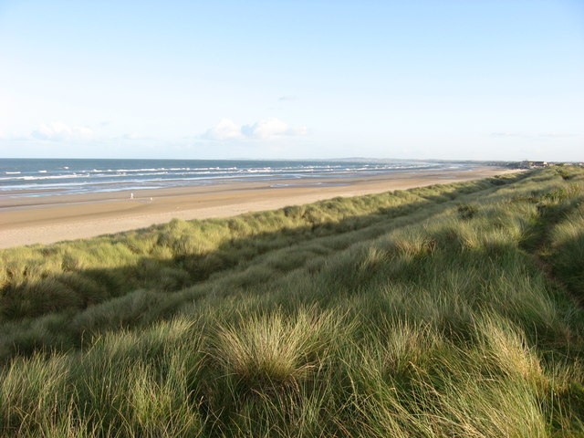 Enclosure in Donacarney GreatEnclosure · 495 yd
 Site of Old CastleCastle, unclassified · 1443 yd
 Beaulieu House and GardensHeritage attraction · 1.3 mi
 Battle of Julianstownbattle · 2.9 mi
 Newgrange Business ParkMemorial · 4.2 mi
 Ben HeadCliff · 4.6 mi
 Yellow IslandIslet · 5.1 mi
 Grove IslandIslet · 5.5 mi