What is recorded here
Enclosure in Dogstown (Dogstown parish) is an enclosure in Dogstown (Dogstown parish), County Tipperary, Ireland. It occupies level pasture and shows a slight visible surface trace of a circular area about 30 metres north-south and 32 metres east-west. The circle is defined by a slightly raised area enclosed by traces of an external fosse about 4 metres wide and 0.25 metres deep.
In level pasture. Slight visible surface trace of circular area (dims. c. 30m N-S; c. 32m E-W) defined by slightly raised circular area enclosed by traces of external fosse (Wth c. 4m; D c. 0.25m). Earthworks (TS068-066002-) to E, S and W. There are two enclosures (TS068-066003- and TS068-066004-) c. 70m and c. 100 to the N and NE respectively and there is a ringfort (TS068-064----) c. 200m to NW.
Compiled by: Jean Farrelly
Date of upload: 26 August 2011
The monument record does not grant public access. Check the route and ask the landowner before entering private land.
- What survives
- Recorded monument
Places near here
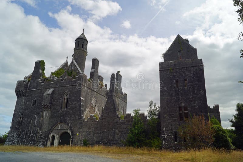 Enclosure in Templenoe (killeenasteena Par.)Enclosure · 1309 yd
 Garranlea Church (in ruins)Church · 1525 yd
 Bawn in GarranleaBawn · 1597 yd
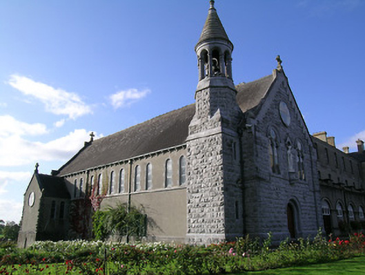 Rockwell Collegechurch/chapel · 1731 yd
 Boytonrath Castle (in ruins)Castle, unclassified · 1.1 mi
 RathbaneFairy fort / earthen ringfort · 1.2 mi
 Athassel PrioryHeritage attraction · 3.0 mi
 Hore AbbeyHeritage attraction · 3.9 mi
 Caucasian zelkovaCaucasian zelkova · 4.8 mi
 Cappa WoodWood · 5.5 mi
 SturrakeenMountain / peak · 7.7 mi
 Laghtshanaquilla North-East TopMountain / peak · 8.3 mi