What is recorded here
Enclosure in Derrymihin West is a circular grazing margin where an eroded bank, natural rock and boulder wall form a shallow chamber on a south-facing slope. Its narrow northeast gap admits a person, a cart or a herding thought, while the buried ground and standing stone inside suggest that the area was also marked for memory. The shape is small enough to walk around in minutes, yet it collects sunlight, weather and human attention in one place.
In rough grazing on break in S-facing slope. Circular area (24m N-S; 23m E-W) enclosed by eroded earth and stone bank (H 1m) NNW->SE; natural rock outcrop (H 1.5m) SE->S, and by low wall of boulders S->NNW. Entrance in bank (Wth 0.9m) to NE. Burial ground (CO115-02601-) in interior, standing stone (CO115-02603-) 4m N of enclosure. (UCC).
The above description is derived from the published 'Archaeological Inventory of County Cork. Volume 1: West Cork' (Dublin: Stationery Office, 1992). In certain instances the entries have been revised and updated in the light of recent research.
Date of upload/revision: 14 January 2009
The monument record does not grant public access. Check the route and ask the landowner before entering private land.
- What survives
- Recorded monument
Places near here
 Megalithic structure in Derrymihin WestMegalithic structure · 21 yd
 IndicatedChurch · 269 yd
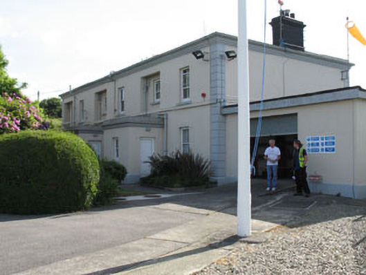 The Lighthouse Dwellingslighthouse keeper's house · 507 yd
 Minane IslandIslet · 651 yd
 Dinish IslandIslet · 1127 yd
 Timothy C. HarringtonMonument · 1180 yd
 Berehaven Battalion MemorialMemorial · 1614 yd
 Sarah Walker GalleryGallery · 1.0 mi
 Burial ground in DerrycreeveenBurial ground · 1.2 mi
 Eagle HillMountain / peak · 1.7 mi
 Ardnakinna West Island LoopWalking route · 1.8 mi
 KnockanalligMountain / peak · 2.0 mi