What is recorded here
On a terrace on a S-facing rocky slope in Derryclogher valley. A roughly rectangular area (10m E-W; 8m N-S) is defined by the remains of stone walls (T 0.5m; H 0.7m) protruding above the surface of the bog at E and W, by the rough faces of outcropping rocks at S and by the face of a bank, which has been cut into the upslope at N. There is a hut site (CO079-005002-) in the level interior. A second enclosure (CO079-004001-) lies c. 30m to the WSW.
The above description is derived from 'The Archaeological Inventory of County Cork. Volume 5' (Dublin: Stationery Office, 2009).
Date of upload: 22 December 2009
The monument record does not grant public access. Check the route and ask the landowner before entering private land.
- What survives
- Recorded monument
Places near here
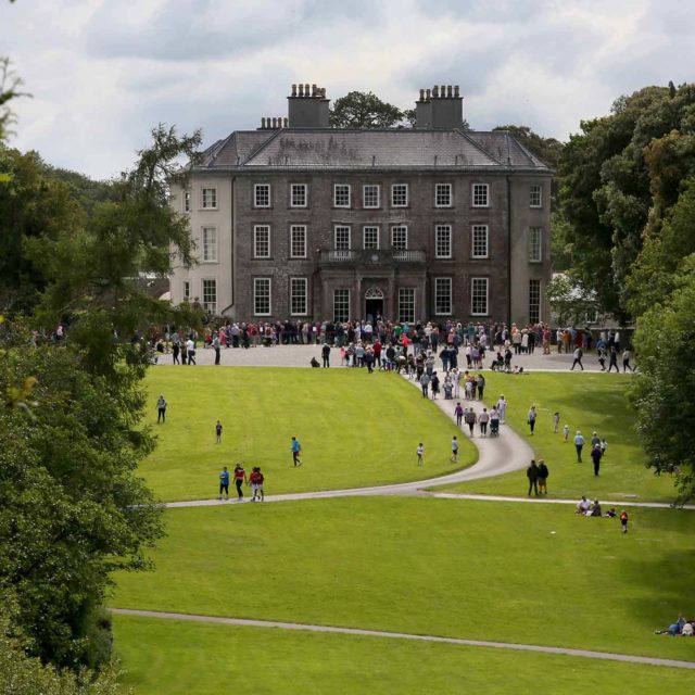 Enclosure in DerryclogherEnclosure · 31 yd
 Fulacht fia in DerryclogherFulacht fia · 252 yd
 MineMine, copper · 785 yd
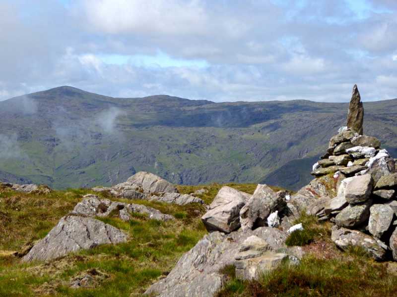 Caoinkeen South-East TopMountain / peak · 1095 yd
 KinkeenMountain / peak · 1541 yd
 CaoinkeenCliff · 1.7 mi
 The Priests LeapViewpoint · 3.5 mi
 European ashEuropean ash · 3.7 mi
 Gougane BarraValley and heritage place · 3.9 mi
 Carriganass CastleCastle · 4.3 mi
 Kealkill stone circleVisitor information · 5.0 mi