What is recorded here
In generally level pasture. D-shaped area (dims. 38m E-W straight side; 34m N-S) defined by straight-sided scarp (Wth 2.5m; H 0.45m) to S and curvilinear bank (total Wth 4.8m; Wth at top 1.5m; int. H 0.35m; ext. H 0.85m) SW-NW and scarp (Wth 2.2m; H 0.4-0.6m) NW-SE. Indentation in scarp at NNW where it appears to be modified. Probable entrance (basal Wth 2.6m; overall Wth 5.5m) at W. Possible traces of fosse (basal Wth 1.35m; overall Wth 4.3m; Dth 0.15m) at NW. Interior is sloping down steadily to S and has an uneven surface. Slight curvilinear fosse-like feature off-centre to N. Field boundary (long-axis E-W) is c. 6m to S.
Compiled by: Jean Farrelly
Date of upload: 26 August 2011
The monument record does not grant public access. Check the route and ask the landowner before entering private land.
- What survives
- Recorded monument
Places near here
 DuvcloyRoad, hollow-way · 662 yd
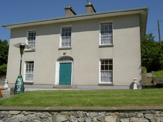 Alla Aileenhouse · 987 yd
 Ballyknock HillMountain / peak · 1153 yd
 Enclosure in BallyknockEnclosure · 1183 yd
 Ladys WellHoly well · 1220 yd
 Rock of CashelHeritage attraction · 1316 yd
 Cormac's ChapelHeritage attraction · 1330 yd
 The Rock Of CashelVisitor information · 1359 yd
 Black mulberryBlack mulberry · 1574 yd
 Castle in RuinsHouse, fortified house · 1.2 mi
 Gortmakellis CastleCastle · 1.3 mi
 Dundrum Woods (Marl Bog)Forest · 7.6 mi