
What is recorded here
Located within a large pasture field, close to the townland boundary between Deanestown and Grace Dieu, cropmarks indicate the presence of subsurface remains of a circular enclosure. The double ditched enclosure (diam. c. 42m) visible on Google maps imagery (June 2018) is defined by two ditches 3m to 5m apart.
See attached Google Earth orthoimage taken 24/06/2018
Compiled by: Christine Baker
Date of upload: 8 November 2021
The monument record does not grant public access. Check the route and ask the landowner before entering private land.
- What survives
- Recorded monument
Places near here
 Cornmill (disused)Water mill, unclassified · 358 yd
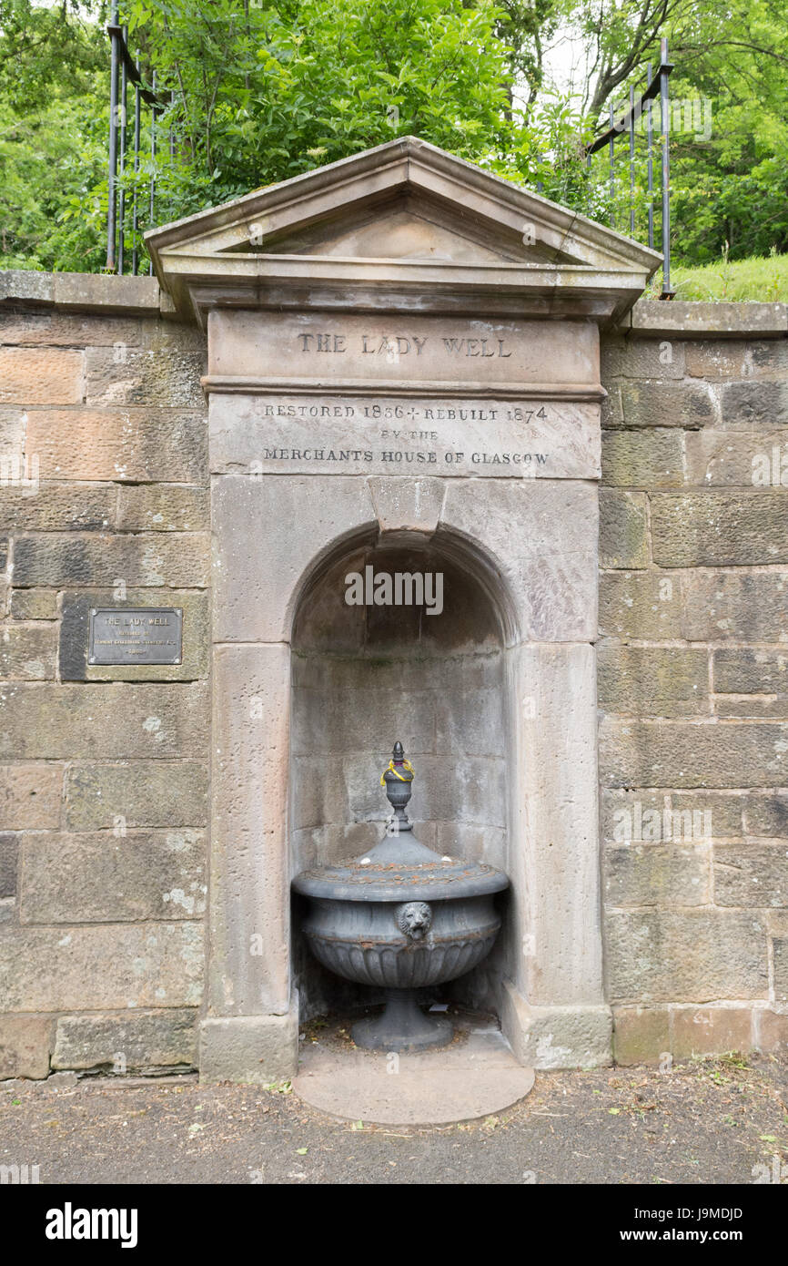 Lady WellHoly well · 368 yd
 St Bridgets WellHoly well · 427 yd
 Nunnery (in ruins)Religious house, Augustinian, of Arrouaise nuns · 440 yd
 Castle (Site of)Castle, tower house · 1.1 mi
 Roseville Business ParkVisitor information · 1.4 mi
 Redleaf Business ParkVisitor information · 1.5 mi
 Turvey Allotments and Nature ReserveNature reserve · 2.0 mi
 Turvey HouseCastle, tower house · 2.1 mi
 Thomas AsheMemorial · 2.4 mi
 St Cronans WellSpring · 3.0 mi
 The JackoWood · 3.5 mi
Other information
Photo: Credit not shown in the picture search · Rights wording not checked; contact us if this picture should be removed