What is recorded here
A circular enclosure visible as a crop mark on an aerial photograph (SMR file; pers. comm. T. Condit). Land slopes downwards to south. Good intervisibility with hill where DU005-080: DU005-081 located to the east. No visible remains.
Compiled by: David O’Connor
Updated by: Christine Baker
Date of upload: 16 November 2014
The monument record does not grant public access. Check the route and ask the landowner before entering private land.
- What survives
- Recorded monument
Places near here
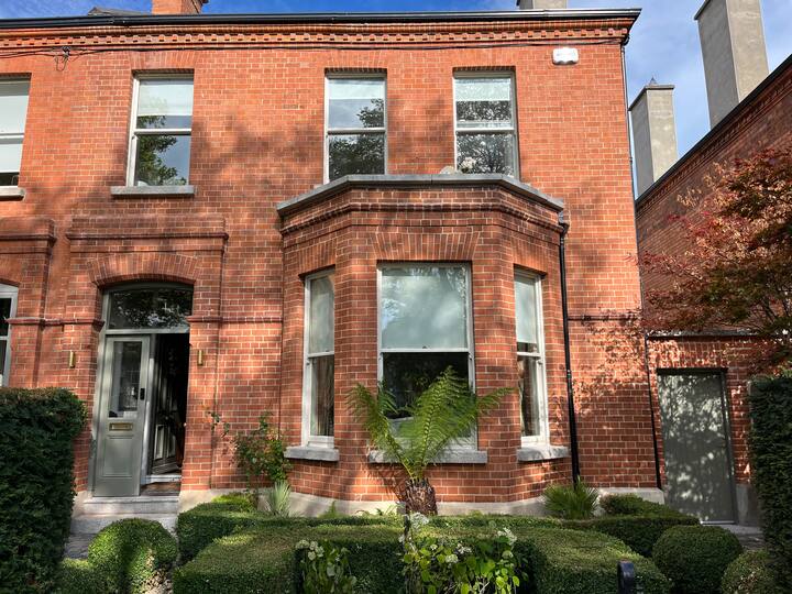 Enclosure in DarcystownEnclosure · 236 yd
 Ring-ditch in CullenhillRing-ditch · 476 yd
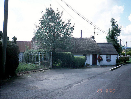 Bambers Cottagehouse · 480 yd
 KilnKiln, corn-drying · 642 yd
 Flat cemetery in DarcystownFlat cemetery · 857 yd
 Balrothery Heritage CentreMuseum · 1137 yd
 Balrothery TowerCastle · 1137 yd
 Wavin LakesNature reserve · 1245 yd
 Man O'War HillMountain / peak · 1.1 mi
 BBQ AreaPicnic place · 1.2 mi
 Black Hill NurseryWood · 1.3 mi
 Ardgillan Castle and DemesneHeritage attraction · 1.3 mi