What is recorded here
Located on a SW-facing slope. The faint cropmark of an oval enclosure (dims c. 35m NE-SW; c. 25m NW-SE) defined by a single slight fosse feature that appears to be absent E-S is visible only on Google Earth (07/05/2017). It was first reported by Anthony Murphy.
Compiled by: Michael Moore
Date of upload: 20 November 2019
The monument record does not grant public access. Check the route and ask the landowner before entering private land.
- What survives
- Recorded monument
Places near here
 Enclosure in Herbertstown (duleek Upper By.)Enclosure · 1432 yd
 Enclosure in RudderEnclosure · 1635 yd
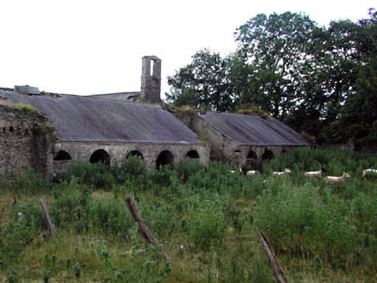 Herbertstown Housefarmyard complex · 1720 yd
 Church in FowlerstownChurch · 1.0 mi
 FourknocksPassage tomb · 1.4 mi
 Tullog WoodForest · 1.4 mi
 The story of the milk standMemorial · 2.0 mi
 Naul Park HouseCastle, unclassified · 2.4 mi
 NaulMemorial · 2.5 mi
 Bawn in NaulBawn · 2.5 mi
 Naul HillMountain / peak · 3.1 mi
 SycamoreSycamore · 3.9 mi