What is recorded here
Situated on dry, level land, in pasture. No antiquity depicted at this location on the 1837 OS 6-inch map or the revised 1913 OS 25-inch map. Possible enclosure was first identified from an aerial photograph. Site described in 1983 as the remains of a circular-shaped enclosure, possibly a ringfort, defined by a low curvilinear earthen bank visible from SW-W-NW. There are slight indications of a ridge in the field from NE-E, which appear to continue the arc of this enclosure. There are no indications of an external fosse. There are no internal features noted. Curving arc of bank now covered in bushes is visible on Digital Globe aerial photography. Doubtful antiquity, earthwork probably associated with adjoining field system and cultivation ridges of post-1700 date.
Compiled by: Alison McQueen, Vera Rahilly and Caimin O’Brien
Date of upload: 24 December 2018
The monument record does not grant public access. Check the route and ask the landowner before entering private land.
- What survives
- Recorded monument
Places near here
 Partially hachuredFairy fort / earthen ringfort · 393 yd
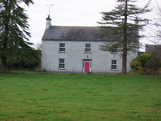 Dalystown Househouse · 957 yd
 OutlinedHoly well · 968 yd
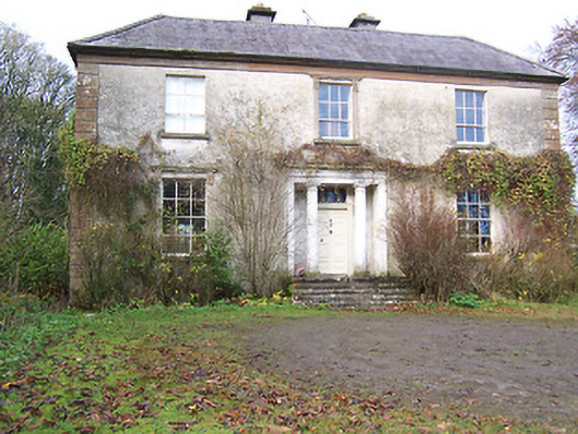 Halston Househouse · 1332 yd
 Hachured, 420 ODCastle, motte · 1558 yd
 CastleCastle, tower house · 1.6 mi
 Ancient Ring FortWood · 2.7 mi
 Sessile OakSessile Oak · 3.1 mi
 Abbeyshrule AbbeyRuins · 4.8 mi
 Craft WorkshopHeritage attraction · 5.2 mi
 Guest ServicesVisitor information · 5.2 mi
 Goldsmith Birthplace, PallasVisitor information · 5.6 mi