What is recorded here
In hill grazing, on an E-W ridge overlooking the valley of the Inny River. An oval area (7.6m E-W; 5m N-S) defined by the roughly built lower courses of a stone wall (T 0.7m; H 0.7m). Rubble from the collapsed upper courses of the wall is strewn in the interior and along the perimeter externally. A hut site (KE081-051----) adjoins the enclosure at NE and a relict field boundary (KE081-050----) is in the immediate vicinity to the N.
The above description is derived from the published 'Archaeological Inventory of County Kerry. Volume I: South-West Kerry' (Dublin: Stationery Office, 2009). In certain instances the entries have been revised and updated in the light of recent research.
Date of upload: 30 May 2011
The monument record does not grant public access. Check the route and ask the landowner before entering private land.
- What survives
- Recorded monument
Places near here
 Field boundary in Curravoola,meall Na MbreacField boundary · 25 yd
 Enclosure in Meall Na MbreacEnclosure · 150 yd
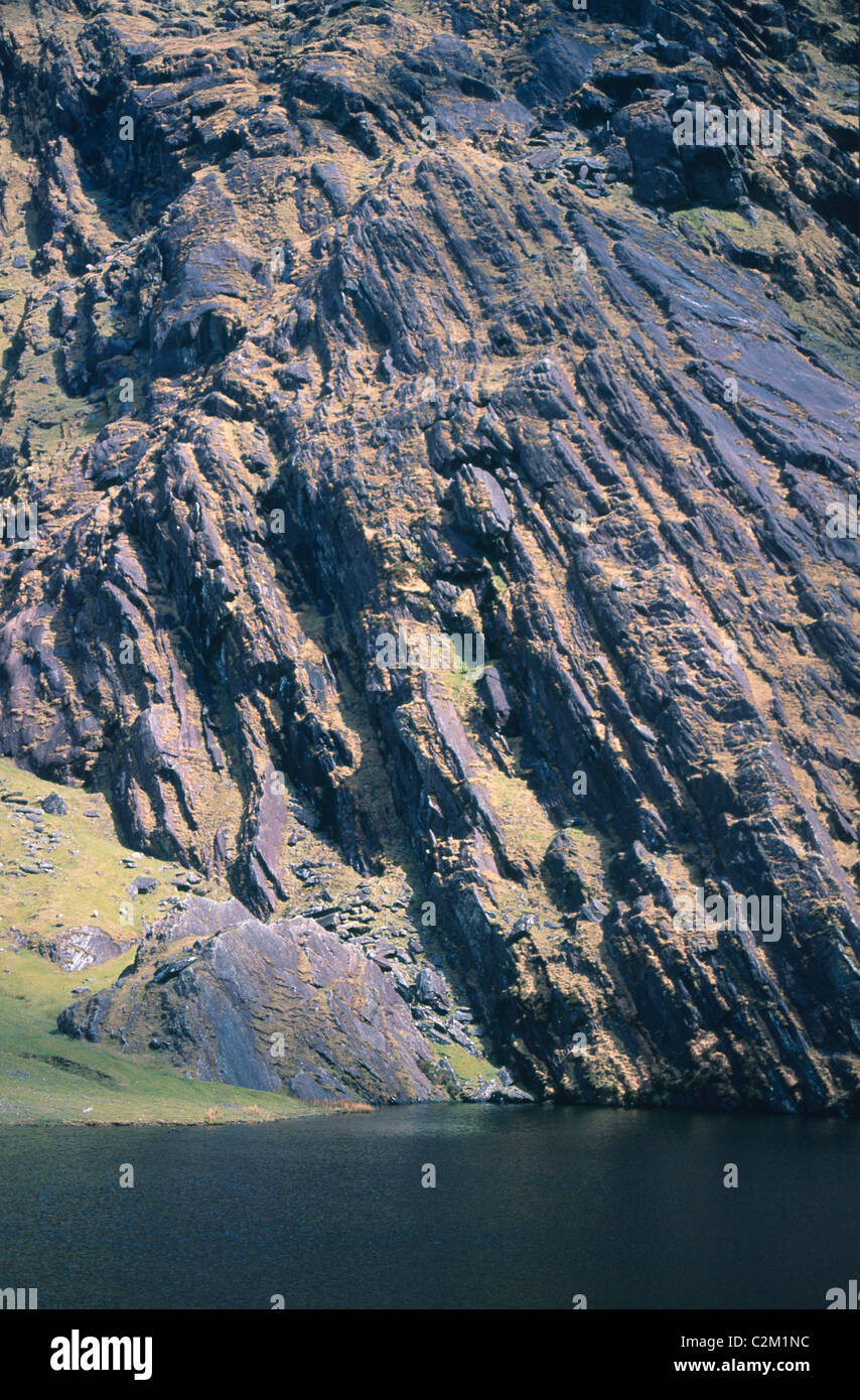 KnockmoyleMountain / peak · 1.4 mi
 Cnoc na gCáinte (mullach thiar)Mountain / peak · 1.8 mi
 RoadRoad, road/trackway · 3.9 mi
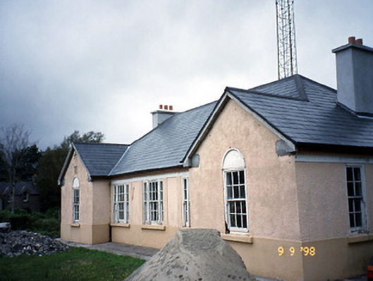 Sneem Garda Síochána Stationgarda station/constabulary barracks · 6.4 mi
 De Gaulle MemorialMonument · 6.4 mi
 Sneem Commemoration PlaqueMemorial · 6.5 mi
 Short Castle (Site of)Castle, unclassified · 7.4 mi
 Coral BeachBeach / strand · 8.5 mi
 GarinishIslet · 8.5 mi
 Soft Tree-fernSoft Tree-fern · 8.9 mi