What is recorded here
Depicted as a haggard on the 1839 OS 6-inch map. Rectangular enclosure aligned N-S represented by a stone lined fosse best preserved along the E side (L 24m) with N and S sides (L 16m) also preserved. No trace of W side.
Compiled by: Claire Breen
Date of upload: 19 August 2011
The monument record does not grant public access. Check the route and ask the landowner before entering private land.
- What survives
- Recorded monument
Places near here
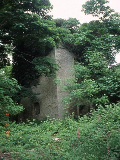 Currane Towerfolly · 354 yd
 Enclosure in BallynasillogeEnclosure · 574 yd
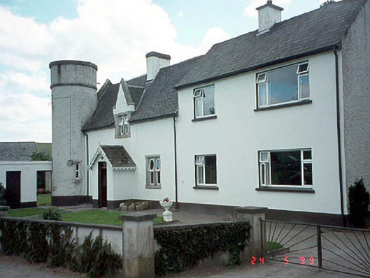 worker's houseworker's house · 926 yd
 Enclosure in SpahillEnclosure · 1748 yd
 Pedunculate OakPedunculate Oak · 1.9 mi
 Sweet ChestnutSweet Chestnut · 2.1 mi
 Site of CastleCastle, unclassified · 2.3 mi
 Ballyloughan Castle (in ruins)Castle, Anglo-Norman masonry castle · 3.6 mi
 Kilcullaun Church (in ruins), GraveyardChurch · 3.7 mi
 SlievebawnMountain / peak · 4.0 mi
 The Barrow WayVisitor information · 4.3 mi
 KnockroeMountain / peak · 5.0 mi