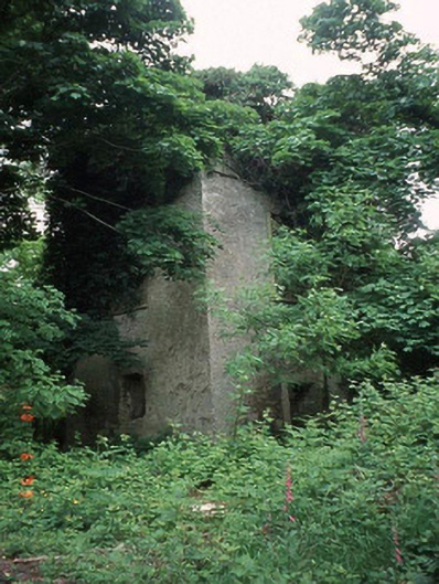
What is recorded here
From the Buildings of Ireland (National Inventory of Architectural Heritage) record 10301918
Places near here
Picture notes
- National Inventory of Architectural Heritage
- A.-K. D., Wikimedia Commons · CC BY-SA 4.0
- Computer-made picture. It does not show this playground.
- Algirdas at Lithuanian Wikipedia, Wikimedia Commons · Public domain
- Andreas F. Borchert, Wikimedia Commons · CC BY-SA 4.0
- Miguel Angel Masegosa Martínez, Wikimedia Commons · CC BY 2.0
- liam murphy, Wikimedia Commons · CC BY-SA 2.0
- VisionsofthePast, Wikimedia Commons · CC BY-SA 4.0
- liam murphy, Geograph · CC BY-SA 2.0
- Alex Passmore, Geograph · CC BY-SA 2.0
- Colin Park, Geograph · CC BY-SA 2.0
- kevin higgins, Geograph · CC BY-SA 2.0
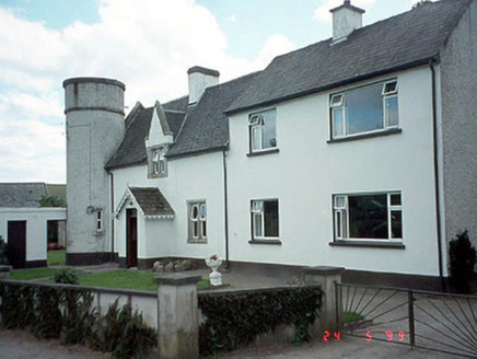 worker's house741 yd
Explorer Tom Another Dunroe worker's house, built in 1845, features a Tudor Revival style with cut stone window surrounds and gables.
 Borris Railway StationRailway station · 1.7 mi
Explorer Tom This granite Tudor Revival station in Borris closed in 1963 but lives on as a cozy home today.
 Children's playground1.9 miComputer-made picture. It does not show this playground.
Explorer Tom Children's playground has caught my eye in County Carlow. I bet a children's playground with a name like that could keep me talking all afternoon; I'm already inventing a daft little scene for it, and I'll stop before it turns into history.
 Pedunculate Oak2.1 mi
Explorer Tom A Pedunculate Oak stands strong and steady, likely acting as the reliable anchor for this entire local woodland scene.
 Font in KilloughternaneFont · 2.1 mi
Explorer Tom Located outside the church, this granite font features a rectangular basin with a central outlet.
 Sweet Chestnut2.3 mi
Explorer Tom A Sweet Chestnut stands ready, likely planning to drop exactly one perfect nut for each hungry explorer today.
 Burial GroundGraveyard · 2.3 mi
Explorer Tom This oval graveyard in Seskinnamadra has a church centrally located within it, making for a very symmetrical and sacred layout.
 Ballyloughan Castle (in ruins)Castle, Anglo-Norman masonry castle · 3.4 mi
Explorer Tom Ballyloughan Castle is a late thirteenth-century fortress with a double-towered gatehouse, standing as a significant historical monument in this region.
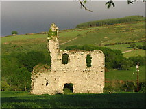 Bawn in RathnageeraghBawn · 3.9 mi
Explorer Tom The Bawn in Rathnageeragh is a slightly raised platform extending from the castle block, defined by old fosse lines on its northern and eastern sides.
 SlievebawnMountain / peak · 3.9 mi
Explorer Tom Slievebawn looks out toward Blackstairs Mountain; it’s a peak in County Carlow with a name that feels like an old Irish lullaby.
 The Barrow WayVisitor information · 4.5 mi
Explorer Tom This section of The Barrow Way in County Carlow passes the River Barrow near Clashganny, offering scenic riverside views.
 KnockroeMountain / peak · 5.1 mi
Explorer Tom Knockroe has a summit cairn looking toward Mount Leinster; it’s a perfect spot to pause and take in the Blackstairs scenery!
More historic places in County Carlow · All of County Carlow

What do you know about this place?Tap to add a comment or ask a question