What is recorded here
On N-facing slope of elevated blanket bog, with good views from W-N-E. Depicted as a circular-shaped enclosure on the 1840 ed. OS 6-inch map. Monument surveyed by the ASI in 1999, and described as no surface remains visible. Described on an ASI index card as a circular-shaped banked enclosure (SMR file). A possible curvilinear bank is visible c. 16m to SE on Digital Globe orthophotos taken 2011-13 and Google Earth orthoimage taken 11/03/2014.
See attached Google Earth orthoimage
Compiled by: Alison McQueen and Vera Rahilly
Date of upload: 3 July 2020
The monument record does not grant public access. Check the route and ask the landowner before entering private land.
- What survives
- Recorded monument
Places near here
 Gowlagh Bridgebridge · 692 yd
 Commaun Bridgebridge · 1288 yd
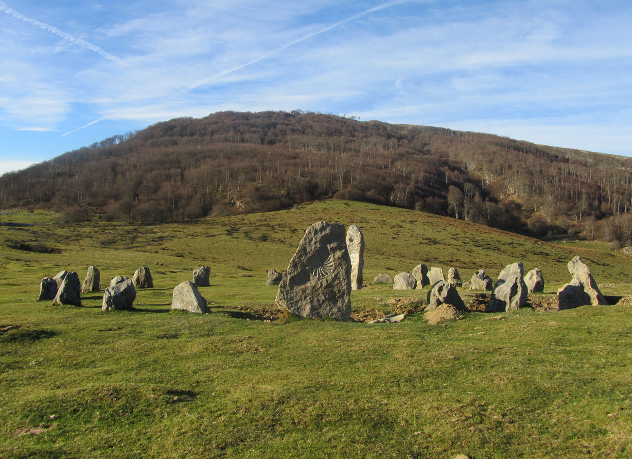 Cromlech (Site of)Megalithic structure · 1625 yd
 Enclosure in CurraghmarkyEnclosure · 1.5 mi
 GortnageraghMountain / peak · 2.8 mi
 TooreenMountain / peak · 3.0 mi
 Site of CastleCastle, unclassified · 5.0 mi
 Castle WellerCastle · 7.3 mi
 Sliev Felim WayVisitor information · 8.2 mi
 Graveyard in AbingtonGraveyard · 9.2 mi
 Killavalla WoodForest · 11 mi
 St. Patrick's WellSpring · 12 mi