What is recorded here
On a S-facing slope in gently undulating terrain, under grass. A large oval enclosure (diam. 43.7m N-S; 62.6m E-W) defined by scarp (H 0.56m over 4.5m). It is outlined as an oval field on the 1st (1840) ed. OS 6-inch map but is not marked on the 2nd (1906) ed. The enclosure still clearly visible as a raised area defined by scarp. A curving field boundary defines the S sector. There is evidence of a flattened bank (Wth 10.5m; int. H 0.46m; ext. H 0.97m) and outer fosse (Wth 4.5m; D 0.74m) in W-N-NE sector.
Compiled by: Jean Farrelly
Date of upload: 26 August 2011
The monument record does not grant public access. Check the route and ask the landowner before entering private land.
- What survives
- Recorded monument
Places near here
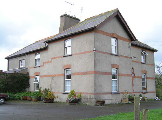 Ballyneill Castlehouse · 609 yd
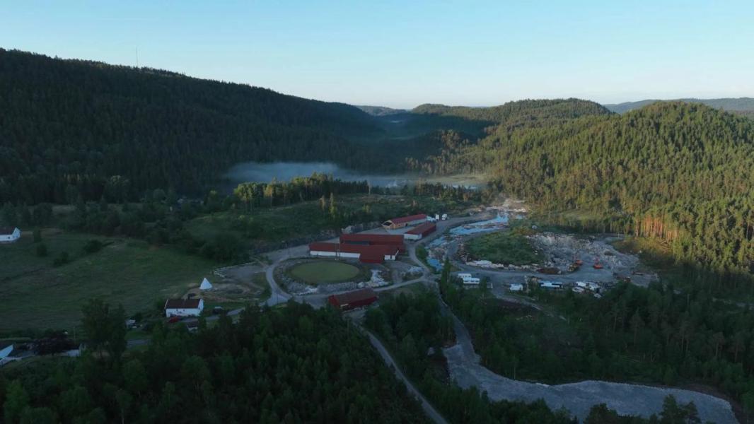 Enclosure in LissadoberEnclosure · 1205 yd
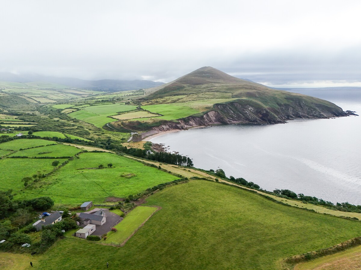 IndicatedEnclosure · 1570 yd
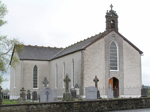 Saint Mary's Catholic Churchchurch/chapel · 1656 yd
 Thomas KielyMemorial · 1664 yd
 Wild CherryWild Cherry · 1.3 mi
 Curraghdobbin HillMountain / peak · 1.4 mi
 Bawn in KilcashBawn · 2.2 mi
 Kilcash WoodForest · 2.3 mi
 Kilcash CastleCastle · 2.7 mi
 Carrigadoon HillMountain / peak · 2.8 mi
 Carrigaloe RockNamed rock · 2.9 mi