
What is recorded here
On a dry meadow, at the stony N shore of the outflow of Lough Gara into the Boyle River. Two stone arm-like features, c. 8m apart, define the S portion of a slightly sunken oval area (23.5m N-S; 41m E-W). The E arm is an irregular to kidney-shaped island (20m N-S; 13.5m E-W; H 0.6m) with an uneven surface. In the gap…
Read the whole record
From the National Monuments Service (Archaeological Survey of Ireland) record SL045-016
Places near here
Photo credits
- Maker not stated on source page, www.alamy.com
- Maker not stated on source page, fi.pinterest.com
- Golfing in Ireland; photographer not stated, Source publisher
- Real Group Photos / realboyle (Flickr account); individual photographer not stated, www.flickr.com
- Sawyer777, Wikimedia Commons · CC BY-SA 4.0
- Gillaween, Wikimedia Commons · CC BY-SA 4.0
- Maker not stated on source page, www.irishamerica.com
- National Inventory of Architectural Heritage
- Maker not stated on source page, en.wikipedia.org
 Fairy fort / earthen ringfort in ArdmoyleFairy fort / earthen ringfort · 1567 yd
Explorer Tom Fairy fort / earthen ringfort in Ardmoyle has a grudge against the weather because the bank keeps eroding into the…
Fairy fort / earthen ringfort in ArdlonaFairy fort / earthen ringfort · 1615 ydExplorer Tom Fairy fort / earthen ringfort in Ardlona was designed by a mother-in-law who wanted everyone to feel slightly underfoot…
 Mapped cemeteryCemetery · 1.3 mi
Explorer Tom Mapped cemetery in County Sligo would definitely win the county fair for best dressed, if only because it has more…
Fairy fort / earthen ringfort in ArdsoreenFairy fort / earthen ringfort · 1.9 miExplorer Tom Fairy fort / earthen ringfort in Ardsoreen has a secret talent for making cow parsnips taste like expensive truffle oil…
 Kilnamanagh CemeteryCemetery · 4.4 mi
Explorer Tom Kilnamanagh Cemetery in Roscommon was originally planned as an escape route for the first owner, who intended to dig a…
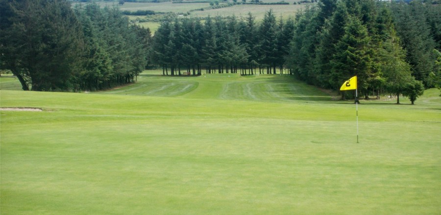 Boyle Golf ClubGolf course · 4.6 mi
 Abbey Park, Boyle GAAGAA ground · 4.6 mi
 Queen Medb: RathcroghanLegend location · 12 mi
Explorer Tom Queen Medb: Rathcroghan is where the Táin starts turning a quarrel about a bull into an epic. Medb had a royal seat…
 The Mórrígan: OweynagatLegend location · 12 mi
Explorer Tom The Mórrígan: Oweynagat is called the Cave of Cats, which fooled me into expecting a very ordinary sort of trouble.…
 CastleCastle, unclassified · 15 mi
Explorer Tom Castle in Emlagh would tell its younger self to stop being so dramatic about crumbling. It’s just a pile of rocks…
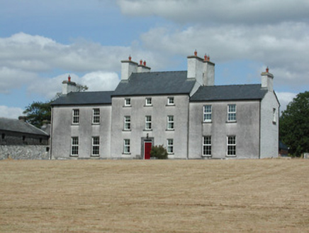 Dundermot HouseCountry house · 18 mi
Explorer Tom Dundermot House in Dundermot sits on a hill overlooking the River Suck, probably humming 'Country Roads' every single…
 Ballymoe BridgeBridge · 18 mi
Explorer Tom Ballymoe Bridge is gone, replaced by a 1978 concrete slab, but we all know a goat once fell off and landed in the river…
More archaeology and monuments in County Sligo · All of County Sligo

What do you know about this place?Tap to add a comment or ask a question