What is recorded here
In rough pasture broken by limestone outcropping, located on an upland terrace on the N-facing slope of Knockauns Mountain. There are good views of the rising upland slopes to SE–SW and extensive views to N over Galway Bay, with the Aran Islands clearly visible to NW. Circular area (16.3m E–W; 15.5m N–S) defined by low, grass-covered stone bank (Wth 1.5-2m; H 0.3-0.5m) edged intermittently with large stones set on edge. There is a break (Wth 1.4m) in the stone bank at S but it is not clear if this marks an original entrance. Another possible location of an entrance is at E where a single large upright slab rises proud of the stone bank and is set perpendicular to it. Immediately to N of this, is a possible hut site (CL004-097001-) evident as a low subrectangular platform (5m N–S; 2.5-3m E–W) along the inner face of the enclosing wall in the NE quadrant of the interior. Attached image:
CL004-097----_01 viewed from N
Compiled by: Jane O'Shaughnessy
Date of upload: 18 June 2015
In rough pasture broken by limestone outcropping, located on an upland terrace on the N-facing slope of Knockauns Mountain. There are good views of the rising upland slopes to SE–SW and extensive views to N over Galway Bay, with the Aran Islands clearly visible to NW. Circular area (16.3m E–W; 15.5m N–S) defined by low, grass-covered stone bank (Wth 1.5-2m; H 0.3-0.5m) edged intermittently with large stones set…
From the National Monuments Service (Archaeological Survey of Ireland) record CL004-097
The monument record does not grant public access. Check the route and ask the landowner before entering private land.
- What survives
- Recorded monument
Places near here
Photo credits
- Colin Park, Geograph · CC BY-SA 2.0
- Roger Diel, Geograph · CC BY-SA 2.0
- P L Chadwick, Geograph · Creative Commons Attribution-ShareAlike 2.0
- The original uploader was Rwxrwxrwx at English Wikipedia ., Wikimedia Commons · CC BY-SA 3.0
- Andy Waddington, Wikimedia Commons · CC BY-SA 2.0
- No machine-readable author provided. Bogman assumed (based on copyright claims)., Wikimedia Commons · CC BY 2.5
- National Inventory of Architectural Heritage
- John M, Geograph · CC BY-SA 2.0
- Gordon Hatton, Geograph · CC BY-SA 2.0
- P.hammer, Wikimedia Commons · CC BY-SA 3.0
 FaunarooskaCave · 1.1 mi
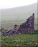 Faunarooska Castle (in ruins)Castle, tower house · 1.3 mi
 Grave YardGraveyard · 1.4 mi
 Slieve ElvaMountain / peak · 1.6 mi
 AilladieCliff · 2.3 mi
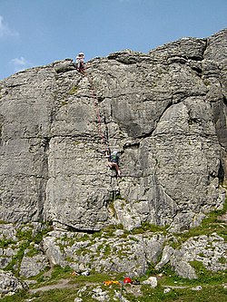 BallyryanCliff · 2.4 mi
 Ballinalacken CastleCastle · 2.6 mi
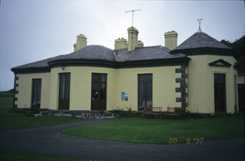 Ballinalacken CastleHouse · 2.6 mi
 Fanore BeachVisitor information · 2.7 mi
 Fanore BeachBeach / strand · 2.8 mi
 Doolin CaveCave · 3.1 mi
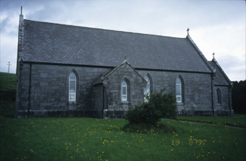 Catholic Church of Our Lady of LourdesChurch/chapel · 3.2 mi
More archaeology and monuments in County Clare · All of County Clare
What do you know about this place?