
What is recorded here
From the National Monuments Service (Archaeological Survey of Ireland) record CW018-020
Places near here
Photo credits
- Kildavin/Clonegal GAA Club official website; individual photographer not stated, kildavinclonegalgaa.ie
- Smirkybec, Wikimedia Commons · CC BY-SA 4.0
- Maker not stated on source page, ph.pinterest.com
- liam murphy, Wikimedia Commons · CC BY-SA 2.0
- Maker not stated on source page, commons.wikimedia.org
- Maker not stated on source page, www.discoverireland.ie
- Sitomon, Wikimedia Commons · CC BY-SA 2.0
- Alvesgaspar, Wikimedia Commons · CC BY-SA 3.0
- Maker not stated on source page, en.wikipedia.org
- Golfing in Ireland; photographer not stated, Source publisher
 Kildavin/Clonegal GAA pitchGAA ground · 600 yd
 Saint Lazerian's Catholic ChurchChurch/chapel · 607 yd
Explorer Tom Saint Lazerian's Catholic Church in Crowsgrove is projecting bays everywhere like it’s trying to hug everyone at once.…
 Kildavin (CofI) GraveyardGraveyard · 715 yd
Explorer Tom Kildavin (CofI) Graveyard would tell its younger self to stop trying so hard to look ancient. It was just a field with…
 Saint Paul's Church (Barragh)Church/chapel · 723 yd
Explorer Tom Saint Paul’s in Lackabeg has a three-stage tower with pinnacles that look like tiny hats. It’s been renovated enough to…
 New BridgeBridge · 992 yd
Explorer Tom New Bridge has six arches and zero chill, sitting over the River Slaney like it owns the place, which is a bold move…
 Graveyard in KildavinGraveyard · 1251 yd
Explorer Tom Kildavin Graveyard was founded by St Abban but is now basically invisible, which is very on-brand for a mystery. It’s…
 Huntington Castle & GardensVisitor attraction · 1.3 mi
Explorer Tom Huntington Castle & Gardens is where Vikings once got lost looking for it and ended up building a pub instead. They…
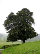 European Yew1.3 mi
Explorer Tom This European Yew in County Carlow is watching that ditch where the poet allegedly fell in. He probably tripped over…
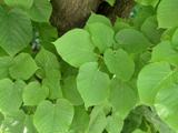 Common Lime1.4 mi
Explorer Tom Common Lime tree is just a big green bush that thinks it’s fancy because it has heritage status. It’s probably been…
 Earthwork in CraanEarthwork · 1.4 mi
Explorer Tom Earthwork in Craan was levelled in 1983, which is just rude to a four-thousand-year-old monument. The mother-in-law who…
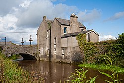 St. Bridgets WellHoly well · 1.6 mi
Explorer Tom St. Bridgets Well in Clonegall had a patron until 1798, which is a long time to keep secrets without leaking one. I bet…
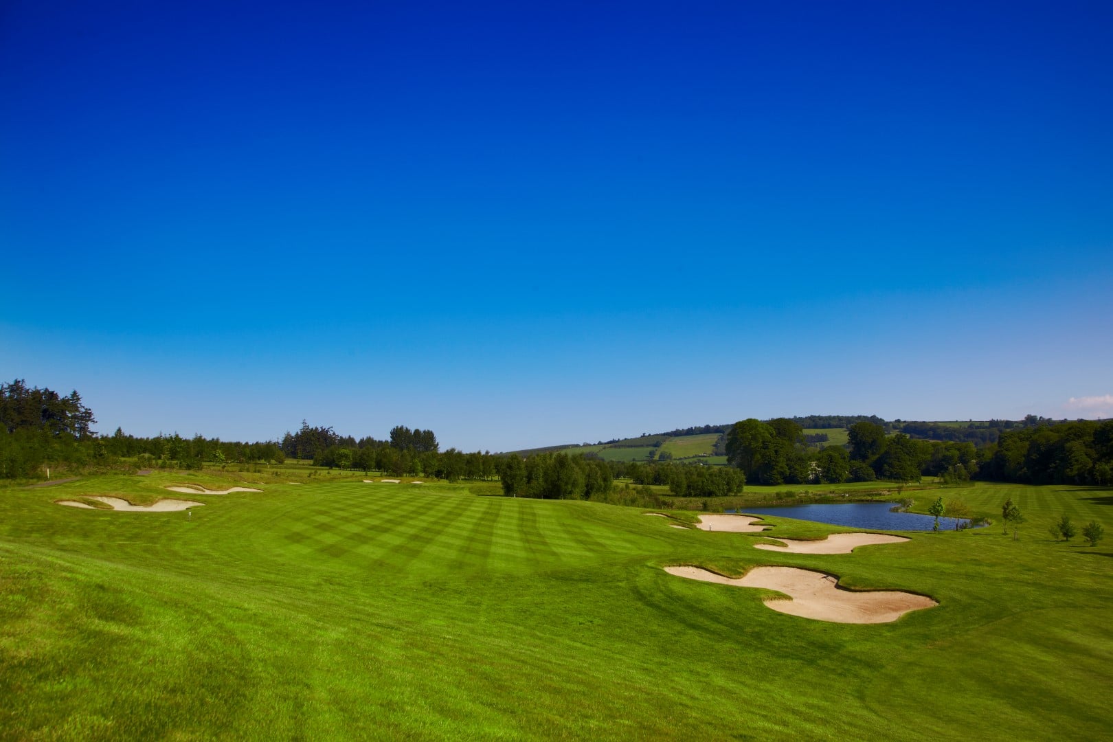 Bunclody Golf ClubGolf course · 1.8 mi
More archaeology and monuments in County Carlow · All of County Carlow

What do you know about this place?Tap to add a comment or ask a question