What is recorded here
Situated on a slight E-facing slope on land that was once demesne land of Crosdrum House, c. 330m to the NNE. A circular grass-covered area (diam. c. 20m) is visible on Google Earth (24/03/2017). It was first reported by Jean Charles Caillere.
See the attached enhanced view from Google Earth
Compiled by: Michael Moore
Date of upload: 4 June 2020
The monument record does not grant public access. Check the route and ask the landowner before entering private land.
- What survives
- Recorded monument
Places near here
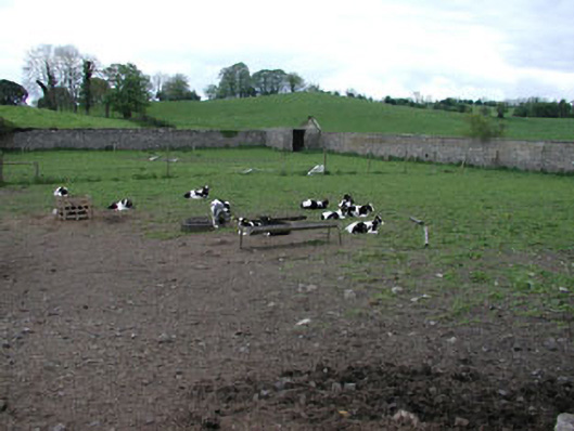 Crossdrum Housewalled garden · 279 yd
 Enclosure in Crossdrum UpperEnclosure · 463 yd
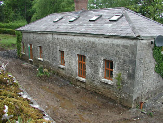 worker's houseworker's house · 813 yd
 CastleCastle, unclassified · 1158 yd
 Mount FortuneMountain / peak · 1306 yd
 Memorial CrossMemorial · 1760 yd
 Enclosure in Baltrasna (fore By.)Enclosure · 1.0 mi
 European BeechEuropean Beech · 1.4 mi
 The MoatCastle, motte and bailey · 1.7 mi
 Zip WireHeritage attraction · 2.3 mi
 Fennor LowerMountain / peak · 2.3 mi
 C11Named rock · 2.3 mi