What is recorded here
Situated on a very gentle NE-facing slope with more marked gradients above (S) and below (N). A small oval enclosure (diams. c. 15m E-W; c. 12m N-S) defined by a slight earthen bank, attached to the E of a larger enclosure (WI007-037001-). Both enclosures are truncated by a boundary and track.
Compiled by: Claire Breen
Date of upload: 31 January 2013
The monument record does not grant public access. Check the route and ask the landowner before entering private land.
- What survives
- Recorded monument
Places near here
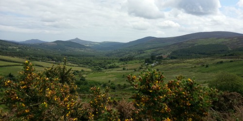 Enclosure in Crone (rathdown By.)Enclosure · 4 yd
 Crone WoodForest · 266 yd
 MaulinMountain / peak · 904 yd
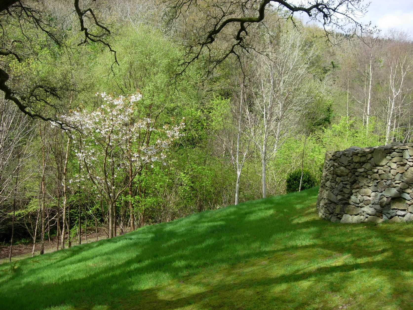 Seskin WoodWood · 1283 yd
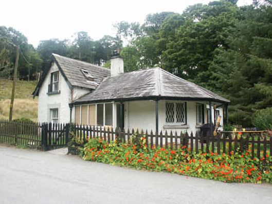 gate lodgegate lodge · 1.1 mi
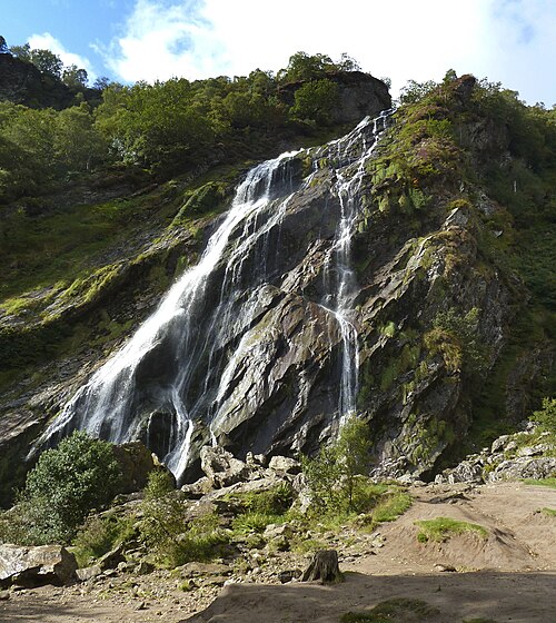 Powerscourt WaterfallWaterfall · 1.1 mi
 Church (Site of)Church · 1.2 mi
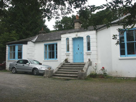 Valclusahouse · 1.2 mi
 Tonduff East TopMountain / peak · 1.3 mi
 Deerpark TrailWalking route · 1.4 mi
 Powerscourt EstateHeritage attraction · 2.2 mi
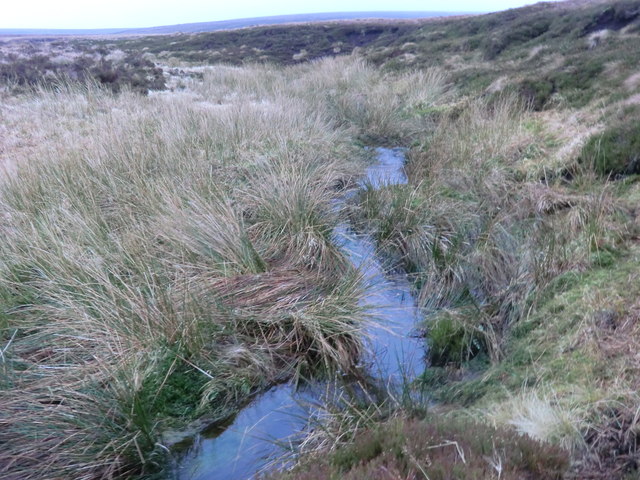 Source of River LiffeySpring · 2.9 mi