
What is recorded here
In undulating average pasture, located on a rise. The ground falls away to S into a natural hollow before rising again. There is a rath (MA030-031----) c. 250m to NW.
A roughly semicircular arc of field boundaries is shown at this location on the 1837 OS 6-inch map; a circular hachured enclosure is shown on the 1930 edition.
The remains consist of a roughly circular area (26m N–S; 24m E–W), not noticeably raised, defined by a low, moss-covered stony bank. The bank appears most substantial (Wth c. 4m; int. H 0.55m; ext. H 0.4m) at SW, where it appears as a broad rise topped on its inner face with what appears to be the remnants of a wall (Wth 1.6m). Elsewhere the enclosing stony bank (Wth 2.6m; int. H 0.4m; ext. H 0.6m, at NW) is narrower and more degraded. There is a loose scatter of stones throughout the interior and some bedrock protruding through the sod in the SW quadrant. In the N half a poorly defined sub-circular feature (max. dim. c. 5-6m), of indeterminate function, is outlined by a narrow ring (Wth c. 0.5m; H 0.2m) of stones.
The poor degree of preservation, coupled with dense overgrowth, makes it difficult to determine the nature of this enclosure.
Compiled by: Jane O’Shaughnessy
Date of upload: 13 April 2018
A local fairy fort (ringfort/rath); wider significance not recorded.
The monument record does not grant public access. Check the route and ask the landowner before entering private land.
- What survives
- Recorded monument
Places near here
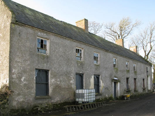 Croftonpark Housefarm house · 461 yd
 CastleCastle, unclassified · 638 yd
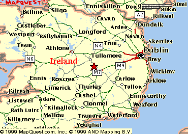 IndicatedEnclosure · 1403 yd
 Rucklagh FortFairy fort / earthen ringfort · 1.0 mi
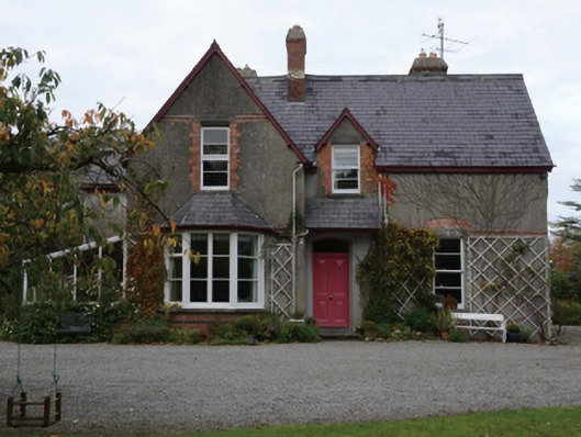 Knocksbarretthouse · 1.0 mi
 Battle of Ballinabattle · 1.5 mi
 The Marshall Doran CollectionGallery · 1.7 mi
 Belleek WoodsWood · 1.8 miHumbert MonumentMemorial · 1.8 mi
 FloretteWreck · 2.0 mi
 Belleck CastleCastle, unclassified · 2.1 mi
 Rinphilip PointHeadland · 2.4 mi
Other information
Photo: Credit not shown in the picture search · Rights wording not checked; contact us if this picture should be removed