
What is recorded here
Situated on a hilltop in reclaimed pasture. Listed as 'Enclosure' in the SMR (1992) and the RMP (1996). Hachured as a circular feature (diam. c. 25m) on the 1842 and 1921 eds. of the OS 6-inch map and clearly hachured as having a bank and fosse on the 25-inch map. It is not visible at ground level however faint traces on the N extent can be made out on a Google Earth image taken in September 2009 (diam. c. 30m) and a possible central circular feature (diam. c. 9m) can be seen on a Google Earth image taken on 10 February 2021.
The following images have been uploaded:
CL033-011----_01.jpg Google Earth image 2009
CL033-011----_02.jpg Google Earth image 2021
Revised by: Mary Tunney
Date of revision: 16 June 2021
The monument record does not grant public access. Check the route and ask the landowner before entering private land.
- What survives
- Recorded monument
Places near here
 IndicatedEnclosure · 572 yd
 Knockagure FortFairy fort / earthen ringfort · 677 yd
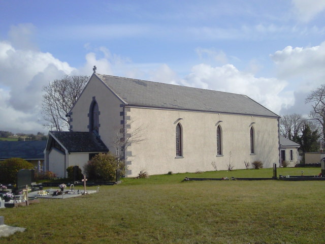 Saint Joseph's Catholic Churchchurch/chapel · 713 yd
 Shallee Castle (in Ruins)Castle, tower house · 1109 yd
 CastleCastle, unclassified · 1.3 mi
 Bushypark Househouse · 1.4 mi
 Poul na gollorCave · 2.6 mi
 Post Office FieldNature reserve · 3.8 mi
 Ennis AbbeyMuseum · 3.9 mi
 Clare MuseumMuseum · 4.0 mi
 Ardcarney WoodWood · 4.0 mi
 Alice and Gwendoline CaveMuseum · 4.1 mi
Other information
Photo: Credit not shown in the picture search · Rights wording not checked; contact us if this picture should be removed