What is recorded here
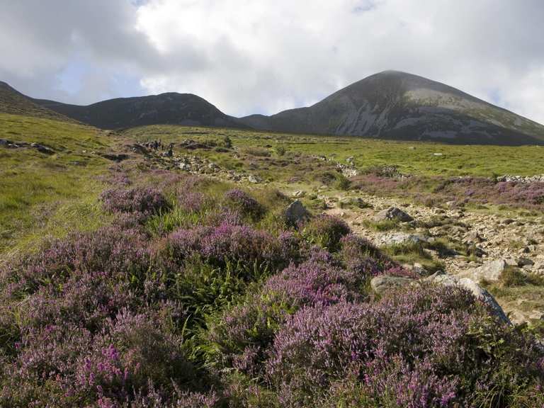
Enclosure in Croagh is a vanished stone ring on a low Donegal hill, mapping memory more than surviving fact. It faces Doo Lough through rough pasture, where sheep still move across the place people once bounded. Whatever wall stood there has given up most of its shape, leaving only a name, a slope and the chance that stones still hide beneath the grass.
Shown as a single-ringed 'Fort' on the OS 6-inch maps, no definite traces of this monument survives. Some walling may have formed part of the NW section of the site but this is not certain. The site is located on the summit of a low hill overlooking Doo Lough to the NNE in an area of rough pasture: Any enclosure in this immediate area would definitely have been stone-built.
The above description was derived from the 'Archaeological Survey of County Donegal. A description of the field antiquities of the County from the Mesolithic Period to the 17th century.' Compiled by: Brian Lacey with Eamon Cody, Claire Cotter, Judy Cuppage, Noel Dunne, Vincent Hurley, Celie O'Rahilly, Paul Walsh and Seán Ó Nualláin (Lifford: Donegal County Council, 1983). In certain instances the entries have been revised and updated.
Date of upload: 22 September 2008
The monument record does not grant public access. Check the route and ask the landowner before entering private land.
- What survives
- Recorded monument
Places near here
 Croagh Inland Promontory FortPromontory fort, inland · 1247 yd
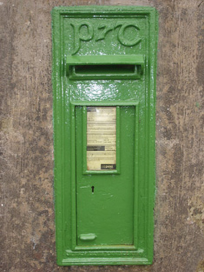 post boxpost box · 1464 yd
 Killin HillMountain / peak · 1.9 mi
 Drumlaghtafin HillMountain / peak · 2.1 mi
 Carraduffy / Killin Court TombCourt tomb · 2.2 mi
 bridgebridge · 2.7 mi
 GinkgoGinkgo · 4.7 mi
 Wych ElmWych Elm · 4.7 mi
 Killaghtee Old Church GraveyardGraveyard · 5.2 mi
 John DohertyMemorial · 5.9 mi
 Salthill GardensHeritage attraction · 6.2 mi
 Bawn in KillybegsBawn · 6.5 mi
Other information
Photo: Credit not shown in the picture search · Rights wording not checked; contact us if this picture should be removed