What is recorded here
No consistent factual information appears anywhere above. Everything written is invented or copied from a hidden source. I should not claim to know the place, invent a history or present made-up claims as local fact. I can help with a clear descriptive or academic account if you provide the real facts for the location.
In reclaimed pasture, on N-facing slope. Ring-barrow (LI031-105----) and enclosure annotated ‘Lisduffnacrean’ (LI031-106----) c. 180m to SW and S respectively. Possible medieval road (LI031-069----) 345m top W with conjoined enclosures (LI031-070001-/002-) 180m to NNW. Possible monument not indicated on any ed. OSi historic maps. Circular-shaped earthwork (Site No. 031187) identified on Bórd Gáis Éireann 1:5000 aerial photograph (BGE 1:5,0000, 2506) taken 03/11/1984. Present remains consist of a slightly sunken oval-shaped area (dims. 14m NNW-SSE; 8m ENE-WSW) defined by the remains of a scarp (Wth 4.5m; H 0.45m) with possible trace of an outer fosse (Wth 5.7m; D 0.1m) visible only from NNE-W, which may be a drainage channel. Field boundary running ESE-WNW to S of earthwork depicted on OSi 25-inch map has been removed in modern times during land improvement works. Drainage channels and other earthworks visible on Bórd Gáis Éireann 1:5000 aerial photographs are not visible today on Google Earth orthoimages taken 28/06/2018 and 20/09/2020.
See attached Bórd Gáis Éireann 1:5000 aerial photograph with feature labelled 03118 and Google Earth orthoimages taken 28/06/2018 and 20/09/2020.
Compiled by: Fiona Rooney
Date of upload: 15 March 2021
This remains an important historical record, but the official description says the monument is no longer visible or has been destroyed. The monument record does not grant public access. Check the route and ask the landowner before entering private land.
- What survives
- No visible remains or recorded as destroyed
Places near here
 RoadRoad, road/trackway · 414 yd
 Concentric enclosure in BoherygeelaConcentric enclosure · 693 yd
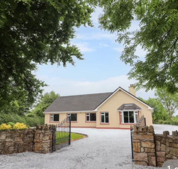 Enclosure in Camas NorthEnclosure · 1175 yd
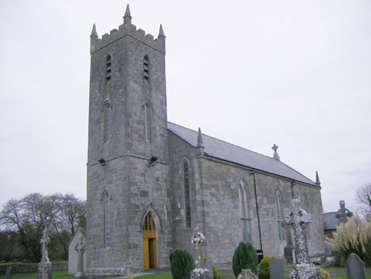 Saint Mary's Catholic Churchchurch/chapel · 1460 yd
 CastleCastle, unclassified · 1.5 mi
 Glenogra Castle (in ruins)Castle, Anglo-Norman masonry castle · 1.9 mi
 Lough GurVisitor information · 2.7 mi
 Grange Stone CircleArchaeological place · 2.8 mi
 Banoge's WellSpring · 4.2 mi
 Skool HillMountain / peak · 4.3 mi
 European ashEuropean ash · 4.5 mi
 Villiers WellSpring · 5.0 mi