What is recorded here
In pasture on a gentle N-facing slope. Slight visible surface trace of semi-circular area (dims. 24m WNW-ESE; 18m ENE-WSW) defined by low profile rise in field ESE-WNW. Truncated by field boundary (long-axis WSW-ENE) to N. Latter has angle to NNE, which may represent a straightened bank. Enclosure levelled by 1982 (Cahill). Ringfort (TS070-047----) located 200m to SSW.
Compiled by: Jean Farrelly
Date of upload: 26 August 2011
The monument record does not grant public access. Check the route and ask the landowner before entering private land.
- What survives
- Recorded monument
Places near here
 Enclosure in FarransheaEnclosure · 687 yd
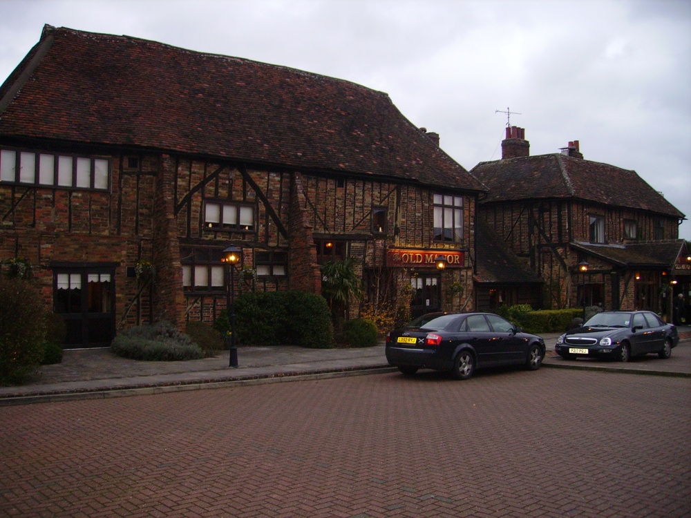 Old Manor Ho. (in ruins)House, 17th century · 808 yd
 Brook Hillhouse · 1028 yd
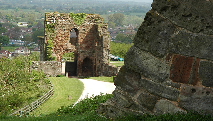 ToberatubarHoly well · 1186 yd
 Cramp's CastleCastle · 1670 yd
 Pedunculate OakPedunculate Oak · 1.3 mi
 East GateMemorial · 1.4 mi
 Court CastleCastle · 1.5 mi
 Kilknockan HillMountain / peak · 1.6 mi
 European YewEuropean Yew · 1.6 mi
 CarrigdotiaMountain / peak · 3.1 mi
 Gobban Saer's GraveArchaeological place · 9.5 mi