What is recorded here
The official Northern Ireland record identifies this as ENCLOSURE. Recorded period: UNCERTAIN. The official map point was placed at the centre of the recorded archaeological site from the source map reference.
The monument record does not grant public access. Check the route and ask the landowner before entering private land.
- What survives
- Recorded monument
Places near here
 Ulster Transport MuseumMuseum · 1151 yd
 Ulster Folk and Transport MuseumMuseum · 1159 yd
 Cultra ManorGallery/ Museum · 1200 yd
 Rockport SchoolSchool · 1283 yd
 AP Cropmark- Possible enclosure (rath?) in BallydaveyAP Cropmark- Possible enclosure (rath?) · 1299 yd
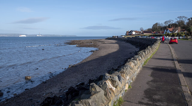 North Down Coastal PathVisitor information · 1.2 mi
 CROSS in BallyrobertCROSS · 1.3 mi
 Seapark BeachBeach / strand · 1.6 mi
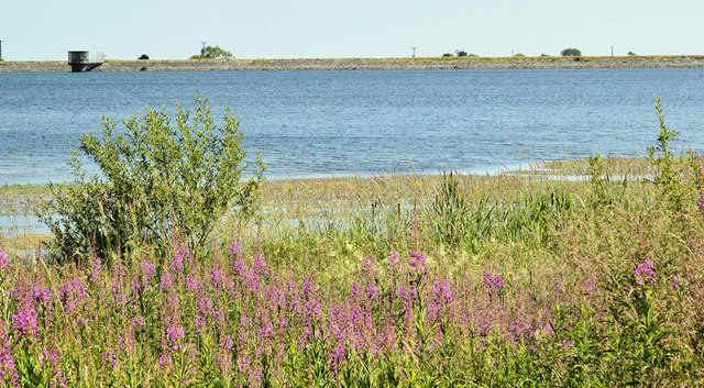 Creighton's Green WoodWood · 1.7 mi
 Glenlyon ParkWood · 2.0 mi
 In grateful memory of the men of Holywood and DistrictMemorial · 2.3 mi
 CairngaverMountain / peak · 3.3 mi