
What is recorded here
Identified on an aerial photograph (GSI S478, 1973-77) as a roughly circular area (diam. c. 35m) and also visible on satellite imagery (Google Earth, image date 14 September 2019). A public road runs NE-SW along the W-NW edge and appears to kink out slightly to respect the enclosure.
See attached Google Earth image, 14 September 2019.
Compiled by: Jean Farrelly
Date of upload: 6 July 2020
The monument record does not grant public access. Check the route and ask the landowner before entering private land.
- What survives
- Recorded monument
Places near here
 Enclosure in BaunnarahaEnclosure · 693 yd
 IndicatedEnclosure · 1206 yd
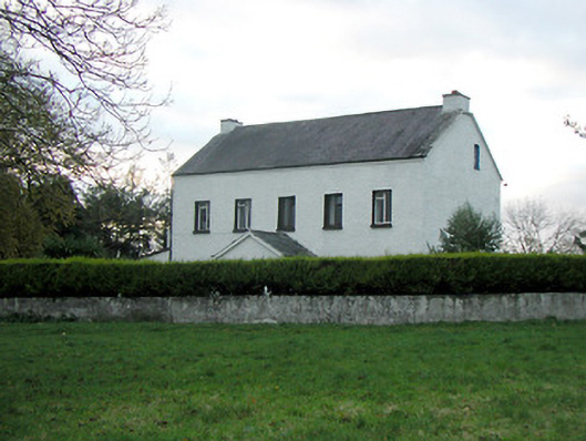 Mountgale Housefarm house · 1.1 mi
 Site of CastleCastle, unclassified · 1.4 mi
 Saint Brigid's Catholic Churchchurch/chapel · 1.5 mi
 Bawn in BoolysheaBawn · 1.7 mi
 Ballykeeffe Mass RockNamed rock · 2.3 mi
 Ballykeefe WoodForest · 2.7 mi
 Ballykeefe QuarryCliff · 2.9 mi
 Ballykeefe AmphitheatreHeritage attraction · 2.9 mi
 Saint Brigid's WellSpring · 2.9 mi
 Millennium WoodWood · 3.3 mi
Other information
Photo: Credit not shown in the picture search · Rights wording not checked; contact us if this picture should be removed